In the summer of 2022, I’ll be hiking abroad again. This is always a big deal, more so after a 2 year gap. I chose Norway and I chose The South.
Overview
I’ll be hiking roughly north to south across Trollheimen, Dovrefjell, Rondane and Hedmarksvidda for a total length of 456 km and a maximum of 15 hiking days. This is the planned route:1
Why Norway
It’s beautiful and relatively unspoilt up there, the hiking culture is outstanding and the right to camp pretty much anywhere makes Norway a fantastic hiking destination in my favorite flavor: long distance and self-supported.
Why South
The southern half is the core of the country because that’s where most of the territory is. It’s also where its most famous mountain areas and national parks are. I’ve been hiking in the far north before, I’ve also been cycle touring the southwestern coast & fjords while seeing the inland mountain areas from below. This, together with the usual map check, eyes wide open over the amazing topography and the wonderful trail network, was enough to make it clear to me that I needed to hike those mountains.
Trollheimen, Dovrefjell, Rondane and beyond
I decided on this trio over Jotunheimen and/or Hardangervidda. It just called my attention the most for a linear route with easy access by public transport and easy quitting anytime on the second half, which takes pressure off the hiking. The planned 456 km is a max distance but I don’t plan to force myself to meet that goal.
From the resources I’ve checked, it feels like Dovrefjell and Rondane are relatively popular but not as much as Jotunheimen. I highly doubt I’d find this latter crowded for my standards but I also feel like I’ll enjoy better the former two. Then, Trollheimen seems quieter and the southern end of the route over Hedmarksvidda specially so.
There is this pretty seamless line across the four areas with only short stretches across a main valley with a road or railway line and most of the course is on a trail. Once I go through Rondane, veering west to reach Jotunheimen would mean quite some road walking over populated areas and I decided against. Instead, I thought keeping south-southeast through Hedmarksvidda would make for a nice, quiet, final stretch for the trip. I just hope the fells in that area keep high enough to avoid any mosquito hell.
I also hope I don’t run out of hiking room. 456 km in 2 weeks should be ambitious enough for my standards but the relatively smooth progress and the long daylight hours may make for long daily distances. South of my end point, it’s lowland woods. On the other hand, things always look easy from home than they eventually are and the exposure, together with the potential for rough weather, may and probably will slow me down.
I’ll be hiking out of Oppdal in Trondelag county, just south of Trondheim, hopefully getting all the way to Hamar in Innlandet county, north of Oslo.
Plan
It’s the same old idea: hike all day, take it easy through long hours, camp every night and, in this particular case, use the hut network if things get rough or if I just feel like it.
Trails and Huts
I’ll be mostly sticking to main trails. It’ll be my first time hiking in the region and I’ll allow myself to get familiar with the area before I do any more challenging plans. I anticipate good quality trails and consistent signaling.
The terrain is relatively smooth, nothing like the long, constant and steep ups and downs of the geologically younger mountains, but it’s also rather exposed for long stretches with only occasional visits to areas low enough to be wooded. It’d be challenging ground without the hut network. I have mixed feelings about the huts, particularly those big, fully serviced ones but it also gives me peace of mind to know they’re there.
Trollheimen is a mix of stuffed and unstuffed huts. Dovrefjell is mostly unstuffed while in Rondane most of the huts in my route will be stuffed ones. Hedmarksvidda seems to be all unstuffed. I got a DNT (Den Norske Turistforening, the Norwegian Trekking Association) membership if only to get access to the unstuffed huts, which are locked and need a master key that you may request as part of the membership.
Norwegian huts are super nice and cozy and I’ll be happy to hide away from rough weather in some of them. Camping out will still be my default.
Gear
I recently got a new shelter for the long distance that I’ll be taking along. The Locus Gear Khufu DCF-B is a one+ person mid that sets up with hiking poles and whose robustness relies heavily on its aerodynamic profile and proper tensioning. Norway is probably one of those places where a fully framed tent would make good sense because of the exposure and the potential for some weather. I know lightweight mids can do it and that it depends a lot on the user. I just hope I’m up to the task.
I’ll be using the inner tent as well. I’m not really sure what to expect about bugs but I guess they can happen. The inner tent spoils a bit of the weight savings of a mid but I generally feel safer with it. There’s probably some psychological comfort in that.
The rest of the team is nothing away from the usual. If anything, I’ll be taking a silk sleeping bag liner that I hardly ever use, in this case it seems to be mandatory for the huts. I won’t be parting with the sleeping clothing layers though.
I’ll be taking paper maps to back up the smartphone. I’m still happy to put up with the extra weight and the Norwegian hiking maps are too beautiful.

Maps and Master Key
This here is the full prospect list (or you can see it in the lighterpack.com site), also a downloadable Excel.
Resources
During the planning, I used these:
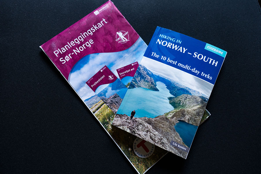
Guidebook: Hiking in Norway – South
The usual Cicerone quality. Being my first time hiking in the region, the chapters with the general information are invaluable for the logistics of the trip and to get an overview of the hiking areas.
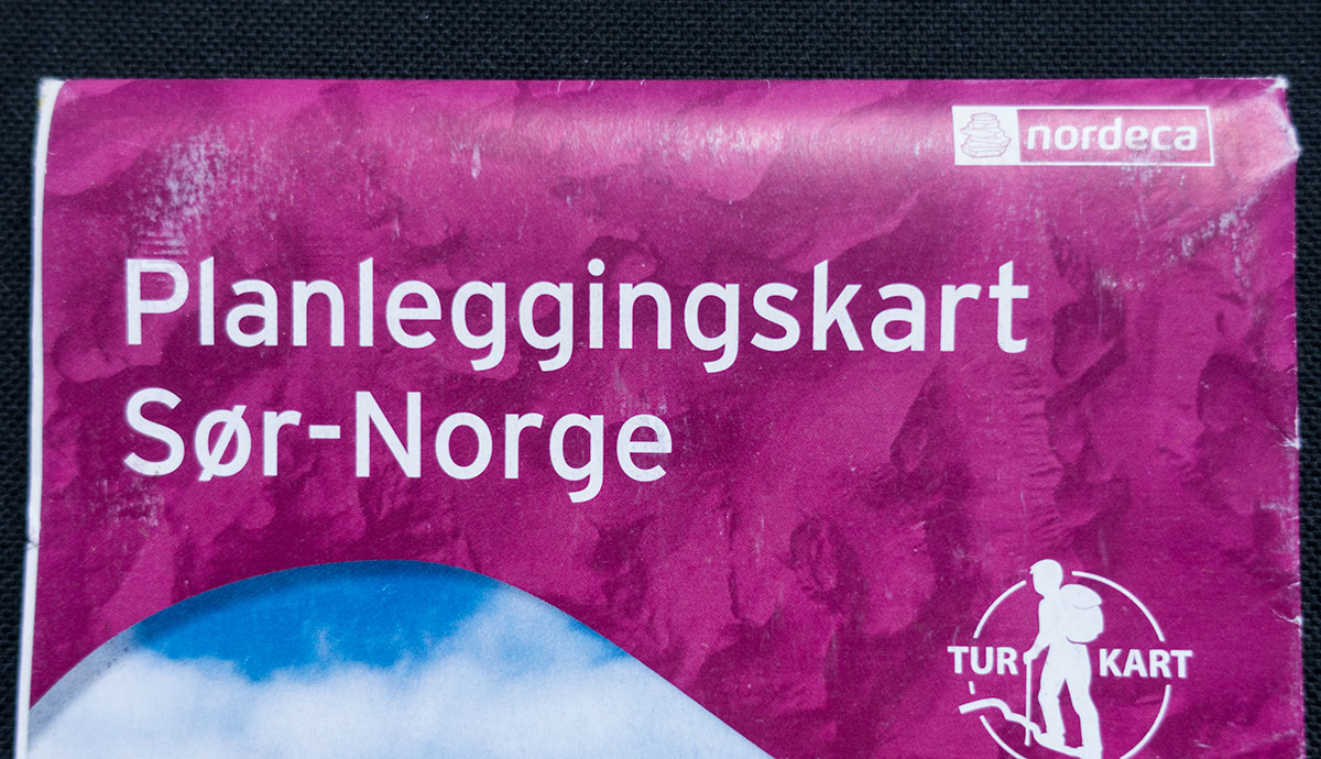
Paper map: Planleggingskart Sor-Norge
This is the map you get with the DNT membership in one of the southern DNT chapters. It’s great for an overview of the hiking trails and a great resource for planning a long distance route.
Planning tools
Online maps: Norgeskart
Quality topo maps. There are route editing tools but as far as I’m aware they don’t offer smart routing along trails. They’re still great to assess the terrain and find the trails and the huts. Maps can be printed out to PDF for free.
Online shop: DNT Butikken
Online shop from the DNT where I ordered all the paper maps with a discount for members.
Departure
I’ll be leaving for Norway on July 22nd, hopefully start hiking on the 23rd.
 RSS – Posts
Say what you want