"Viajar a pie" is Spanish for "Travelling on foot"

Tag: Lysefjord

Norges Ryggrad

WhereSouth-Central Norway
WhenAugust
Distance471 km / 293 miles
Length15 days

Classic Jotunheimen

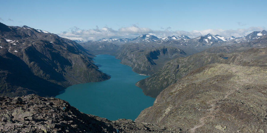
Norway is a special place in several accounts. The latitude is an obvious factor but it’s not the only one. As a geographical unit, Norway is very unique, most of it being mountains and uplands where, owing back to the high latitude, traditional human life is not sustainable. The valleys are often deep and narrow and many of them are filled with sea water a very long way inland.

The country’s geography is also highly asymmetric, most of its length a narrow strip of land between the North Sea and the Scandinavian main divide. It’s only in the south that the Norwegian land widens and extends both sides of said divide. This is also where the highest mountains and uplands are found.

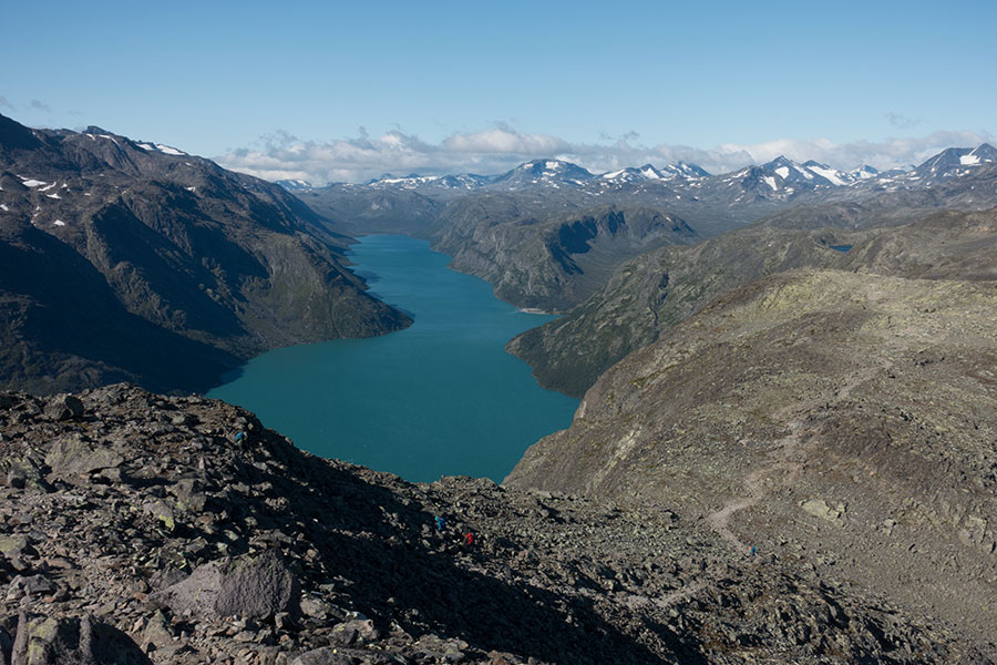
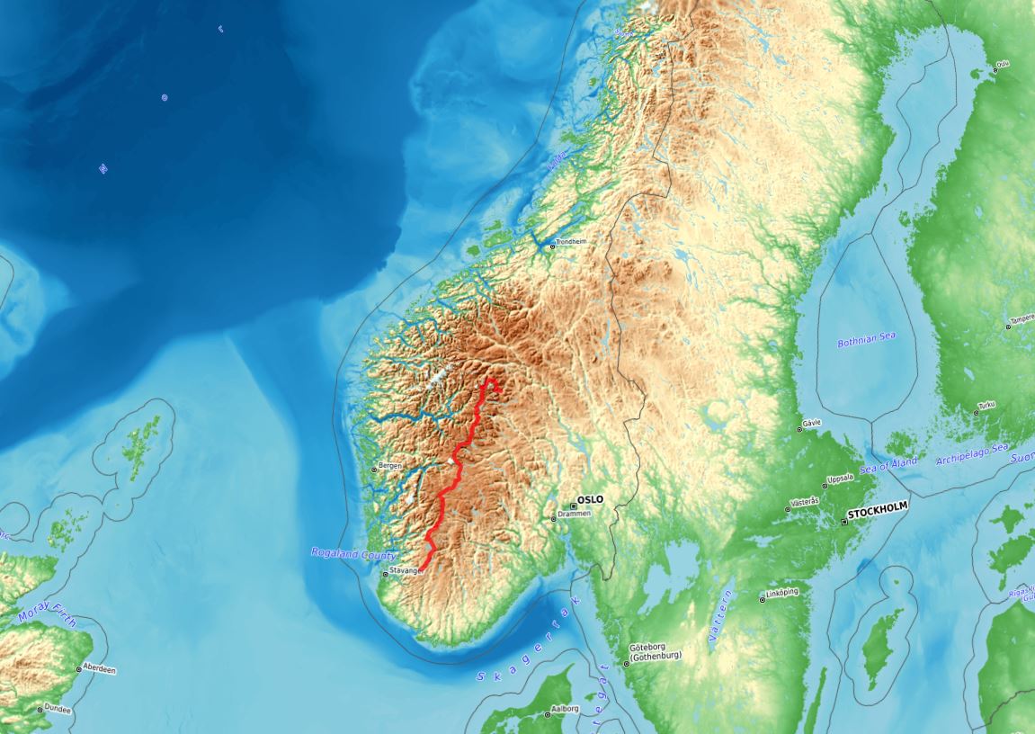
In the summer of 2025, I meant to hike along this only area where the Scandinavian watershed falls entirely in Norway, traversing iconic regions I had never visited before. Jotunheimen would be about the mountains, Hardangervidda would be upland plateau and I’d go through whatever else was needed to reach the inland tip of the southernmost of the big western fjords.

See the menu to access all content for my trip along the main divide in Southern Norway.
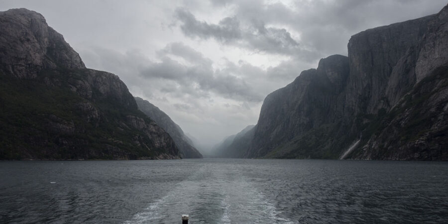
Norges Ryggrad aftermath: Lysefjord

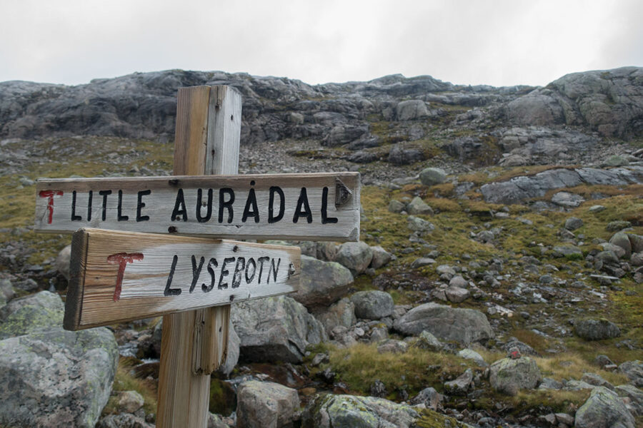
My hiking trip in the summer of 2025 ended in Lysebotn, at the innermost reach of Lysefjord, the southernmost of the great fjords in western Norway. I have mentioned in previous entries how this was not part of the initial route plan and how it grew on me as I considered my options.

A good part of the appeal was to end the trip at this spot that feels like a natural endpoint where hiking on wouldn’t be an option, a body of water preventing any further progress. The other part is about getting out of there as part of the fun.

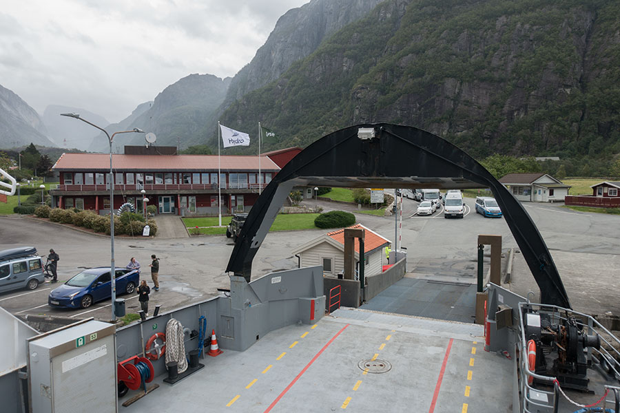
There is now road access to Lysebotn but it’s seasonal and it requires navigating about half a million hairpin bends. The fjord itself is probably still the main way into and out of the valley, certainly the only one with public transport and, without having tried the road, I’d say the most scenic. I was looking forward to the ferry ride out of Lysebotn as a perfect end for an outstanding hiking trip so much that it became one of my beacons.

I took the slow boat and I took lots of photos. Here are some.

Embarking

Norges Ryggrad section 4: Ryfylke

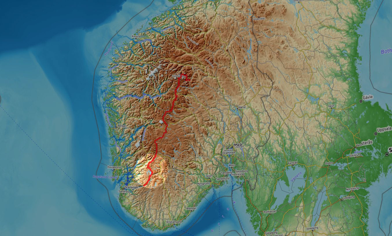
In the summer of 2025, I was back in Norway for some more quality hiking. This time, I went for its backbone, Norges Ryggrad. I started hiking in Jotunheimen, the main mountain region in the southern half of Norway, then across Skarvheimen, Hardangervidda and the Ryfylke highlands all the way down to Lysefjord, in the Stavanger area.

This is an account of days 11 to 15 when I hiked across the Ryfylke highland region.

Ryfylke

Norges Ryggrad Gear Notes

The gear in this trip was very similar to that in previous Norway visits but the conditions were somewhat different. In 2025 and along the divide, it was colder, windier and drier than anytime else. Gear performance is entirely dependent on the working conditions so there are still a few notes worthy of comment.

Full gear list in Lighterpack.com and Excel.

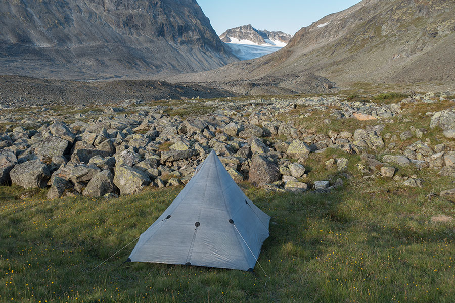
Shelter – Locus Gear Khufu

The wind performance in a tent is a coveted test that I’ll try my best to not go through. No matter how exposed the place is, and the hiking grounds in the Norwegian mountains tend to be very exposed, there’s always some mitigation possible and I’d apply every measure I could to minimize wind impact. Trip safety is first, gear wellbeing is second and test reporting would only be third.

A very shallow depression set and all staking points in use

Norges Ryggrad Facts and Figures

The route explained and put into perspective by the simple records.

Names, lines and figures

Norges Ryggrad Highlights

In the summer of 2025, I was back in Norway for some more quality hiking. This time, I went for its backbone, Norges Ryggrad. I started hiking in Jotunheimen, the main mountain region in the southern half of Norway, then across Skarvheimen, Hardangervidda and the Ryfylke highlands all the way down to Lysefjord, in the Stavanger area.

Jotunheimen to Lysefjord

With this trip and together with previous chapters, I’ve almost completed hiking the length of Norway with only the far north and south ends missing. In this entry, I’ll go through the outstanding features of the journey as I perceived them.

Powered by WordPress & Theme by Anders Norén & All content by Iñaki Diaz de Etura unless otherwise stated