
| Where | South-Central Norway |
| When | August |
| Distance | 471 km / 293 miles |
| Length | 15 days |
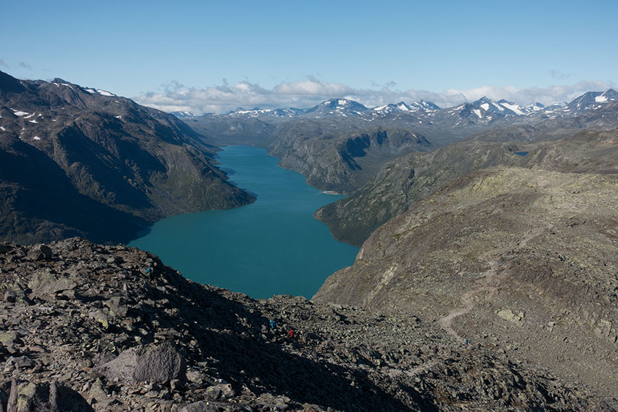
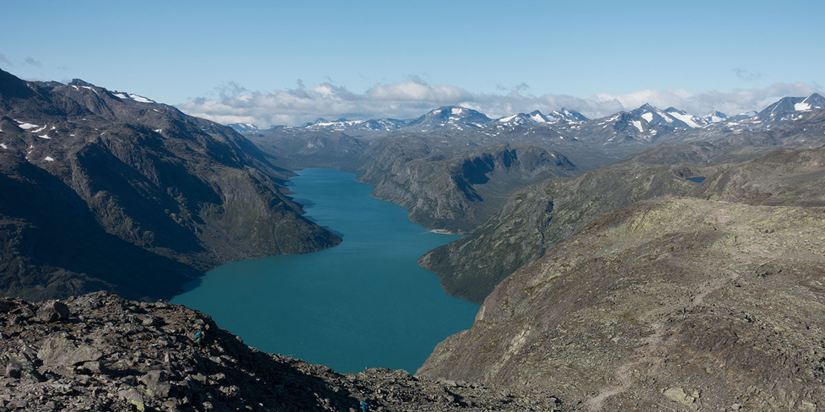
Classic Jotunheimen
Norway is a special place in several accounts. The latitude is an obvious factor but it’s not the only one. As a geographical unit, Norway is very unique, most of it being mountains and uplands where, owing back to the high latitude, traditional human life is not sustainable. The valleys are often deep and narrow and many of them are filled with sea water a very long way inland.
The country’s geography is also highly asymmetric, most of its length a narrow strip of land between the North Sea and the Scandinavian main divide. It’s only in the south that the Norwegian land widens and extends both sides of said divide. This is also where the highest mountains and uplands are found.
In the summer of 2025, I meant to hike along this only area where the Scandinavian watershed falls entirely in Norway, traversing iconic regions I had never visited before. Jotunheimen would be about the mountains, Hardangervidda would be upland plateau and I’d go through whatever else was needed to reach the inland tip of the southernmost of the big western fjords.
See the menu to access all content for my trip along the main divide in Southern Norway.
 RSS – Posts