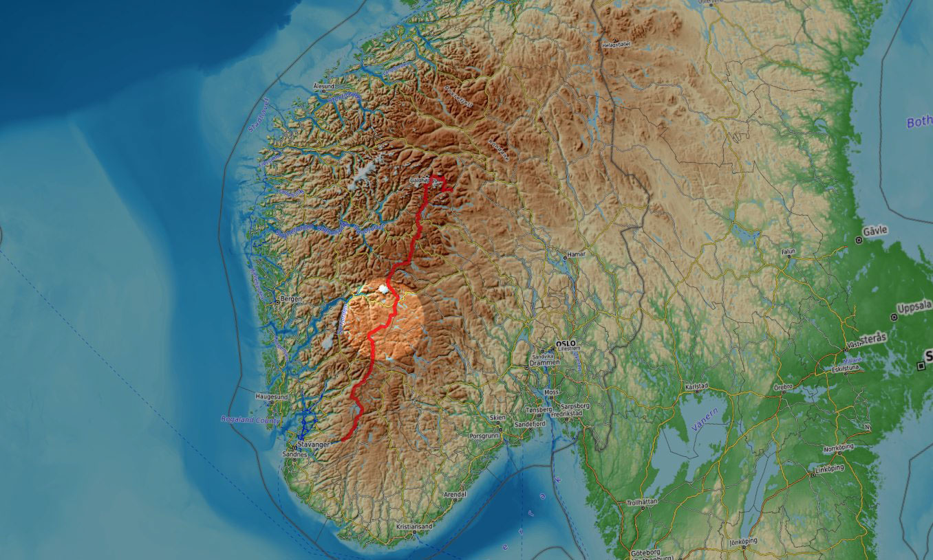
In the summer of 2025, I was back in Norway for some more quality hiking. This time, I went for its backbone, Norges Ryggrad. I started hiking in Jotunheimen, the main mountain region in the southern half of Norway, then across Skarvheimen, Hardangervidda and the Ryfylke highlands all the way down to Lysefjord, in the Stavanger area.
This is an account of days 8 to 10 when I hiked across Hardangervidda.
Hardangervidda
The bad part of staying overnight in a stuffed hut is that it’s either the early wake-up call or the breakfast buffet. The latter is non-negotiable so I have to give up on the former. Even with everything packed and ready to go right after the last coffee cup, it’s about a couple of hours of hiking time lost over a standard day but when I say breakfast is non-negotiable I really mean it. It’s already 9 AM by the time I leave Finse but I’m sure energy won’t be a problem for the next several hours. Most importantly, spirits are high too.
Leaving Finse
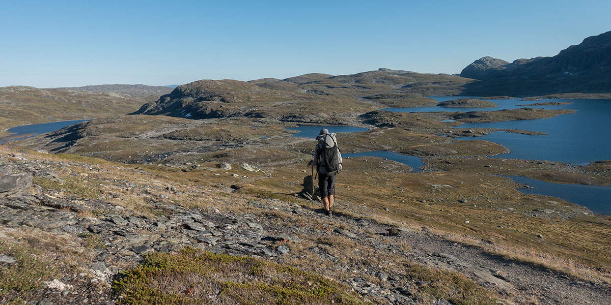
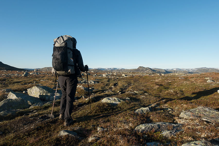
I feel a bit anxious about making progress after the relatively late start but everything else is in my favour, fair weather, dry ground and a gorgeous environment, all adding to a great time on the trails. Motivation is at an all time high, a let’s do it kind of feeling. South of Finse, the terrain is still hilly with the typical, endless series of lake basins.
Lakes and hills
The afternoon feels somehow less glorious and I’m not sure how much of that is due to the environment, as I approach a road crossing, or my energy levels coming down. In case the latter is to blame, I stop for a feet cold sink and some lunch. These two work always, even when I’m not particularly aware of the need. Then it’s a short climb down to Number 7, the North Hardangervidda road.
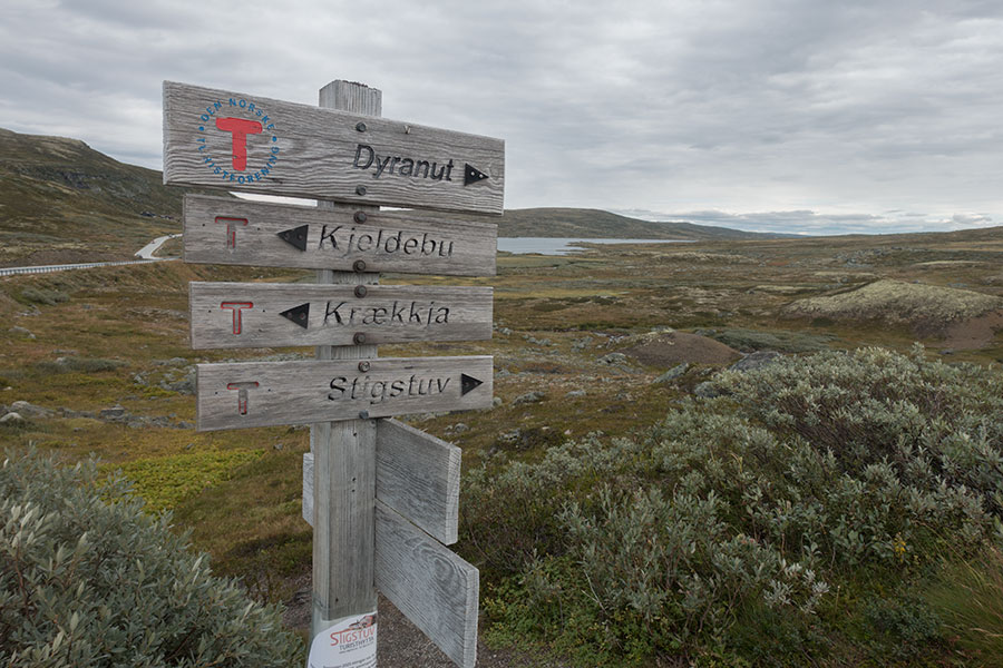
Road 7 visible behind the signpost
It’s still been hilly all the way here from Finse. South of Road 7, it’s Hardangervidda proper.
It’s not like the road density is very high anywhere in Norway, less so in the mountain areas but if you look at a road map it’s easy to notice a void bigger than the rest and that’s Hardangervidda. I had been hiking high plateau environments in Norway before but never at this scale. Hardangervidda is allegedly the largest such environment in Europe and pretty much all of it is a wilderness. To me, it’s a very intriguing area and I’m eager to hike it.
Hardangervidda
It’s very smooth relief, also in that micro scale that’s not visible on a hiking map. I’m used to take this as a guarantee of marshes but to my very welcome surprise, the ground is dry, making for the easiest hiking I’ve ever done in Norway. Together with the fair weather and the late evening light, it makes for some fine time on the trail.
Open wide
It’s still windy and rather cold so it all feels less welcoming when I need to camp. Micro-relief enough for a wind break is difficult to come by so I set for the leeside in a drainage in between two hills. It’s all so shallow that I doubt it makes much difference. Whatever, I’m happy to be back to camping.
No room issues
Despite the late start, it’s been a 40 km day.
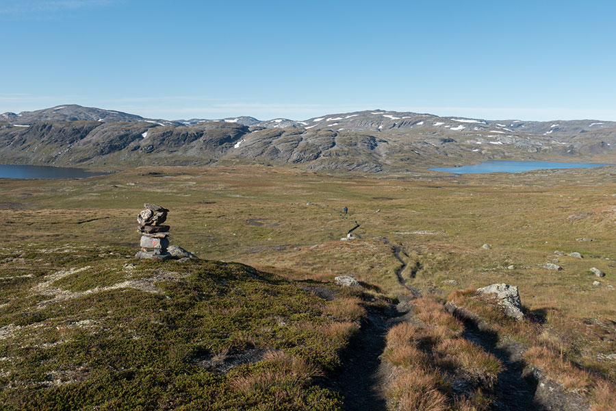
The plateau
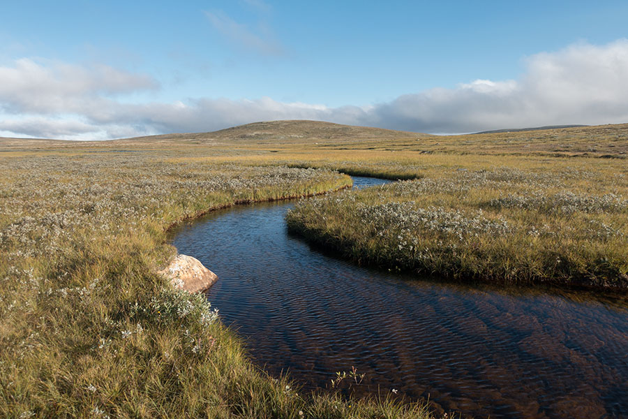
The new morning starts foggy but it’s easy to see it’s a very local thing and it should be clear soon. When it lifts, the vastness reveals again.
The visible world clearly divided in two halves, the green and the blue
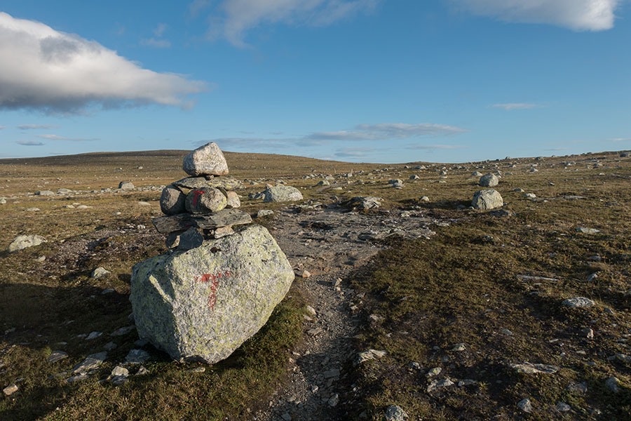
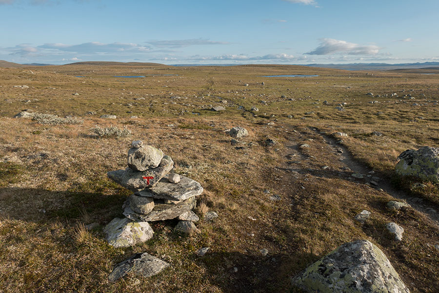
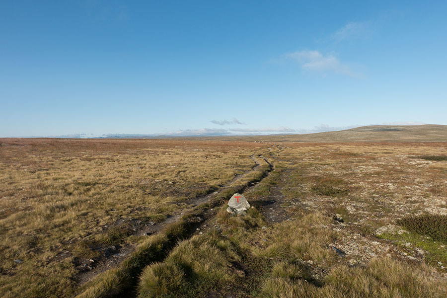
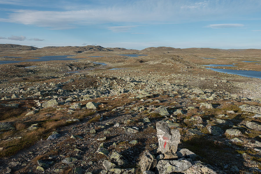
In this land of little reference points, I can feel thankful for a good trail and the comforting presence of the DNT signaling. Basins are so shallow and wide that drainages are difficult to assess, even on the map. I hope water still knows which way is down.
Drainage channel
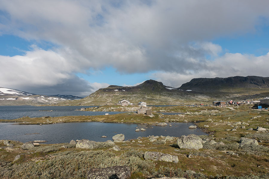
In this context of general emptiness, it’s particularly shocking to spot an unnatural glow in the distance, like sunlight hitting glass and metal. As I come closer, I see it’s a car park. In retrospect, I see there was no other viable choice because this is Norway and the alien spaceships always land in North America but I guess my brain was very much in wilderness mode and too far from expecting such an outstanding symbol of human trampling.
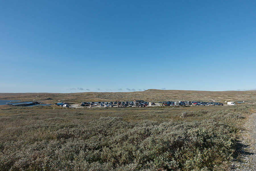
The improbable car park
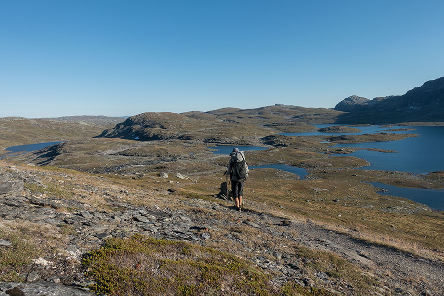
I had noticed the gravel track in the map but hadn’t guessed this very spot as a major trailhead for the Hardangervidda. Then I start joining dots and realize it’s a Sunday morning so many weekend warriors may be out there. As I get deeper into the plateau in a southwest course, I start to meet several groups of hikers coming in front, angling gear sticking out of many packs, and it all makes sense.
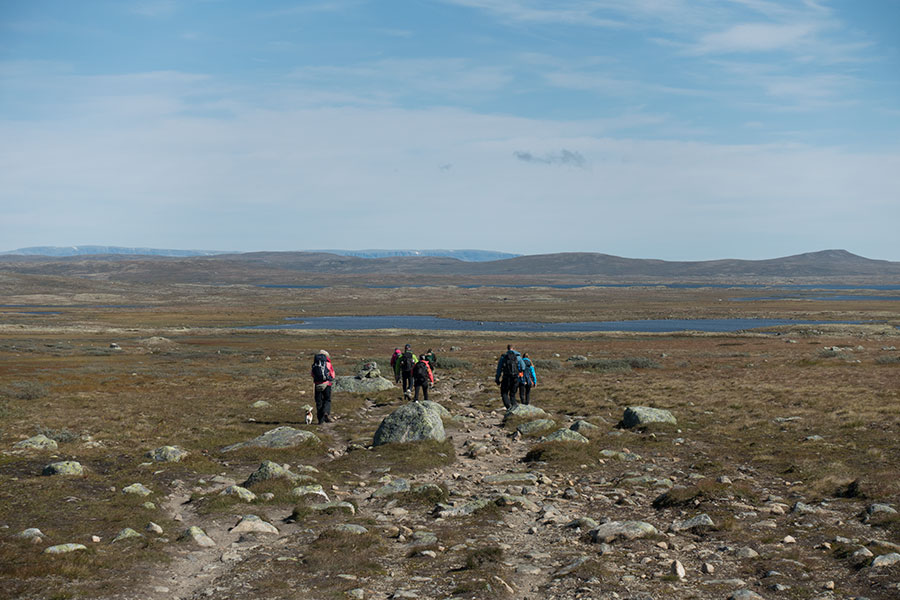
The anglers are coming home
By late afternoon, I go by stuffed hut Sandhaug, which sits by a big lake basin where those not working on Monday are still found at the fishing business and I can understand where the previous flow of hikers was coming from. The very good news about the popularity of this route is that the marshy areas have been taken care of.
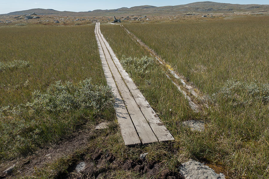
Safe passage over the marsh
Contrary to my uninformed expectations, there weren’t many bogs along my route in the plateau but the few around Sandhaug were all provided with the wood planks and I could through with dry feet.
The other news is that south of Sandhaug the terrain gets hillier and rockier, still rather smooth but the endless, featureless grassland feeling is no longer there. As the evening progresses, I’m into more familiar environment.
Somehow back to classic Norway
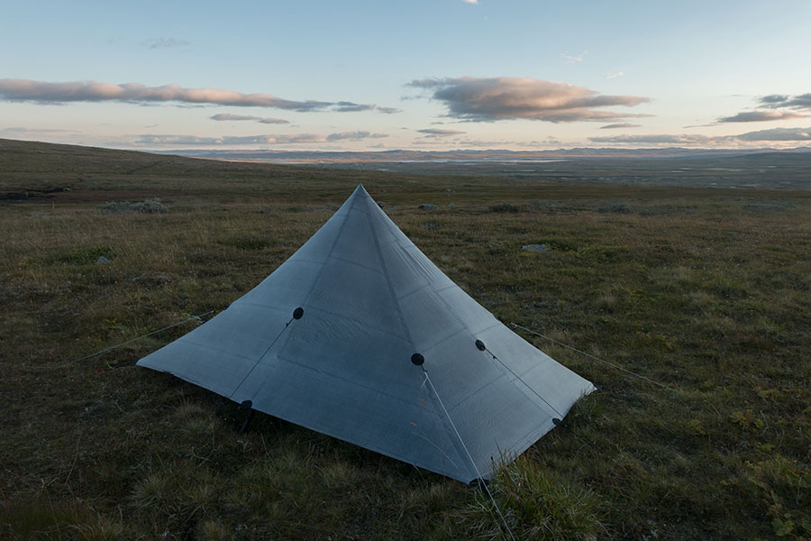
The wind picks up again or maybe it had always been there and I get more aware of it by the time I have to make camp. No, it’s really got stronger and I scout the map for any upcoming section that’s on the lee of some hill but it looks like the wide scale assessment is of little help, it keeps blowing no matter what. In the end, the micro scale works best and I decide to stop when I go by a spot that feels quieter. It’s barely past 8 PM but I don’t regret the relatively early stop, I’ve covered 41 km in what will be the longest daily distance in the trip and the place is beautiful. I can even take some tent pics before the sun goes.
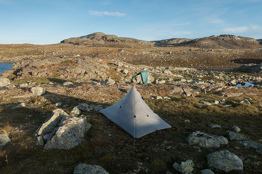
My favourite camp in the trip
Back in the hills
It was sub-freezing in the morning and I had to shake frost off the DCF again but the vibe was quiet and the sun soon made it nice staying. No time for lounging though, it’s another early start and I’m on the trail by 7.30
Shell and gloves becoming standard
By the time I get close the Litlos hut, there are big hills in the background and it feels like the plateau is over. Happily following the forecast, the sky is spotless blue.
Spot the hikers
Litlos is the last in the series of Hardangervidda section stuffed, rather remote but big huts that I’ve been able to skip completely. Truth be told, I made an attempt at intermittent breakfasting in Litlos but the shift was already over.
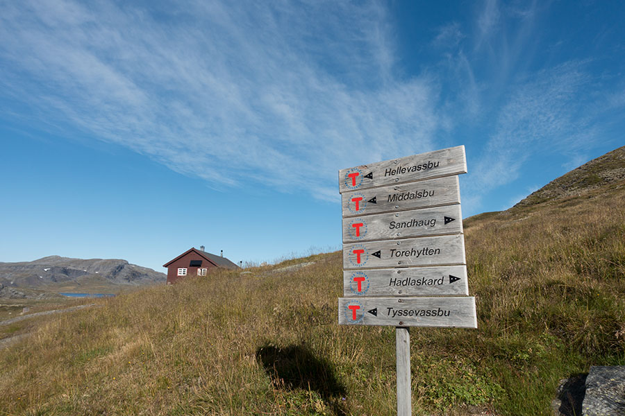
Lots of places to go
It gets definitely hilly as I head towards Haukelifjell but emotionally, to me the plateau section is not closed yet so stay with me for a little longer while I head across the most typical maze of ridges and drainages, eventually down to the Hellevatn basin, where there’s an unstuffed hut.
Spot the hut
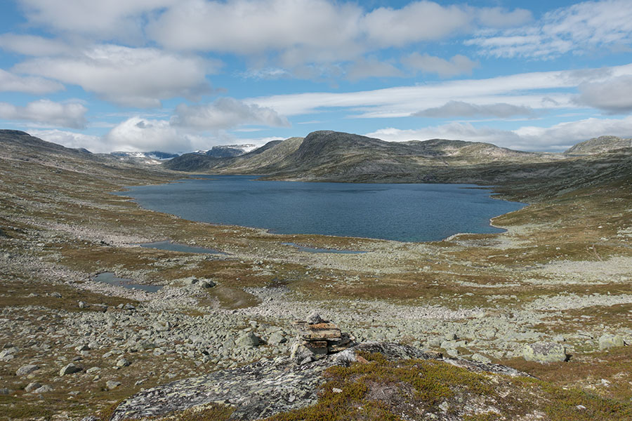
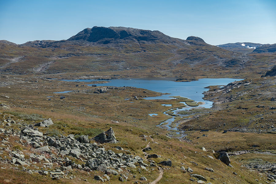
I see the emotional end of the section in the Haukeli highway or E134 road, upcoming due south, but I don’t mean to make it there before day’s end, instead the plan being to take advantage of the fair weather and camp somewhere beautiful, ie anywhere. It still will be a very long day and I start to feel the need to stop as I come down to yet another lake basin. It’s not boring, it’s just that I’m tired.
Yet another lake basin
It’s a late end for the day by lake Mannevatn and the sun has already set behind the hill. Breezy and cold once again.
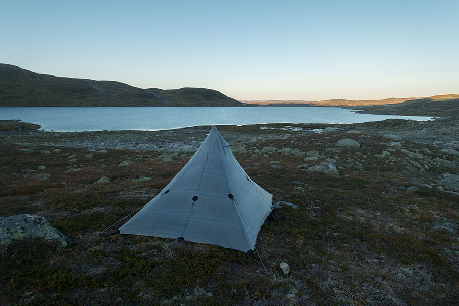
Day 10, camp 7
It’s only 7 km to the stuffed hut by the road, which I’ll cover in the very early morning with the clear idea of being there on time for the breakfast buffet.
 RSS – Posts
Say what you want