
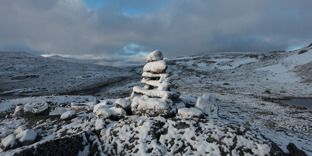
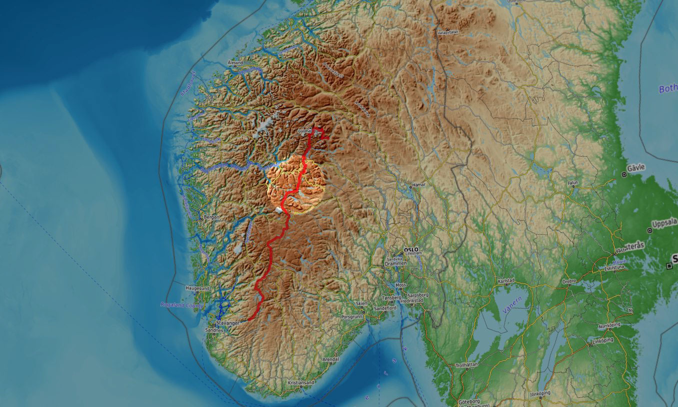
In the summer of 2025, I was back in Norway for some more quality hiking. This time, I went for its backbone, Norges Ryggrad. I started hiking in Jotunheimen, the main mountain region in the southern half of Norway, then across Skarvheimen, Hardangervidda and the Ryfylke highlands all the way down to Lysefjord, in the Stavanger area.
This is an account of days 4 to 7 when I hiked across the Skarvheimen region.
Skarvheimen
I’ve been through so much weather in Norway before that I can hardly believe how favorable it’s been on this trip from day 1. As I wake up into day 4, there are no signs of any changing pattern and this keeps morale at an all time high.
Follow the cairns and the power line
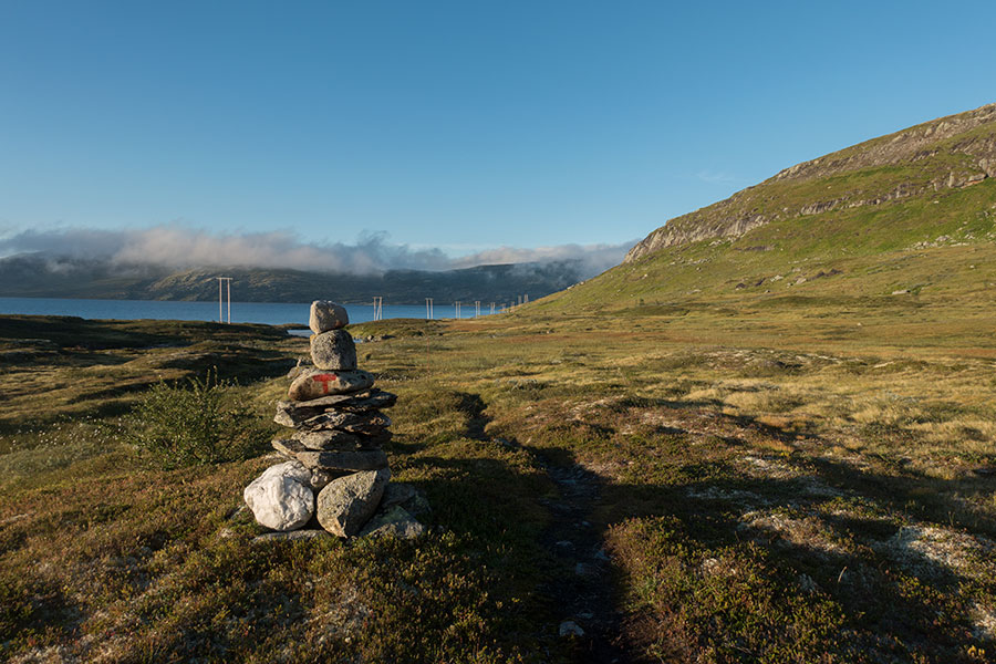
It’s just above 1K m high as I hike along the shore of dammed lake Tyin and the terrain brings me back to previous routes in Norway with low level sections: grass, heather and the mostly unwelcome marshes. This time, I happily escape with mostly dry feet by the time I get to the dam, road 53 and a myriad of holiday homes.
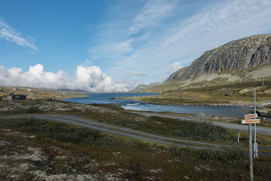
Looking west, the fjords are down there
Elaborating on the pic above, it is interesting to note that the void behind the low cloud to the west leads to Ardalsfjorden, sea water at the innermost reaches of giant Sognefjord and I can recall my previous trip down there when I was riding my bike around the western fjords back in 2014. I like linking the dots on the terrain.
This time, the hiking route takes me due south on a gentle climb away from the holiday homes and onto highlands again. At the 1300 m contour, it’s mostly grassy and I share my lunch spot with a herd of friendly sheep. Sharing only the spot, not the lunch.
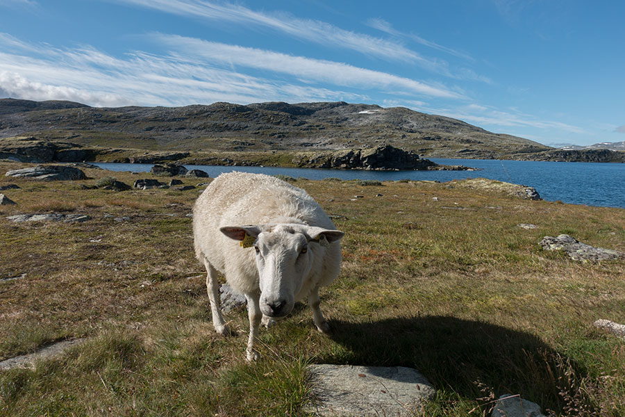
Local sheep
It’s only a 100 m climb to cross a ridge but its then that I have all the views north to the Jotunheimen montains that I have been going through in the previous days.
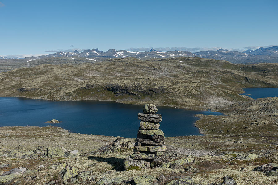
Jotunheimen in the background
It’s a very minor ridge but it feels like saying goodbye to the first section of the trip and focusing on what the southbound course will bring. To start with, a short highland crossing before coming down to another valley just low enough to sustain some trees. There is also a road and a multitude of homes just close enough together to look like a village. The place actually goes by proper name Kyrkjestolane and the road is the E16, the main east/west route in Norway. I hit it a stone throw west of the divide and its highest point, just below the 1K m contour.
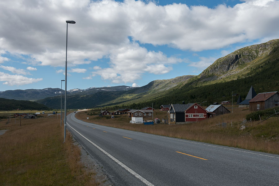
E16 road by Kyrkjestolane
This will be the most populated place I’ll go through until trip end in Lysefjord and this will also be the main road I’ll need to cross. There’s some traffic but it’s not difficult to see just empty tarmac on a Tuesday afternoon. It’s a good hint at what Norway is about.
I had hoped there’d be a cafe and I was ready for some indulgence so I went through my first big disappointment in the trip when I found there actually was one but it was closed on weekly break. Technically, no big deal but I had built some expectations. Never mind, the weather was still close to perfect and I was perfectly happy to keep going, starting with a bit of birch woods walking.
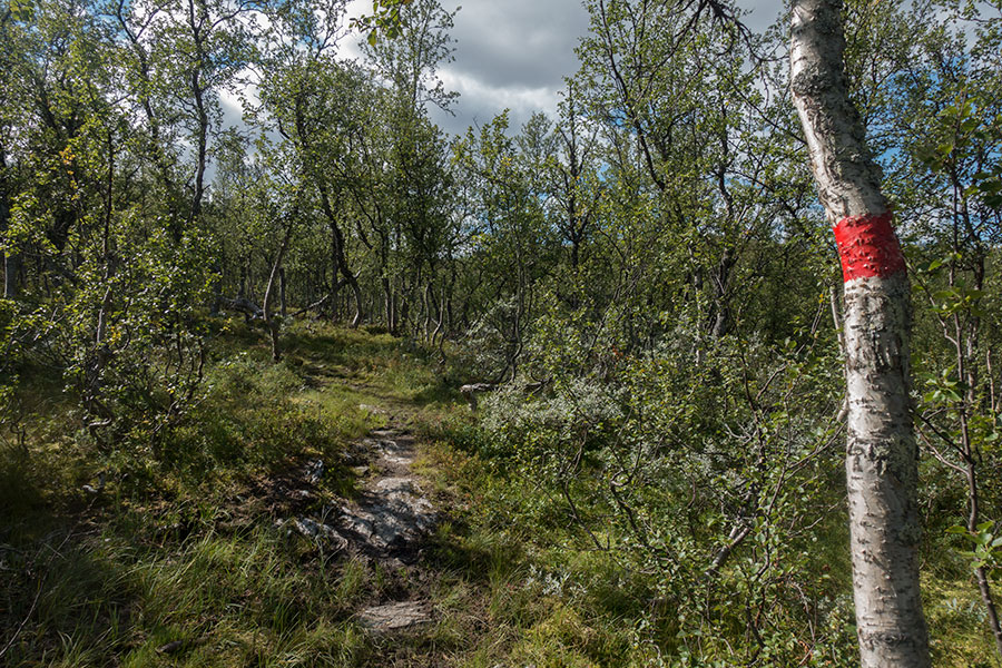
Birch woods
The following highland section is easily reached on a gentle climb back up to 1300 m on a good trail across grass and heather. It gets a bit more alpine on the climb to a pass from where I get one last view back north to the Jotunheimen peaks.
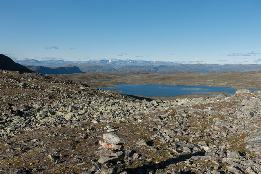
One last time
Facing south, I can see a bit of shelter in the terrain at the base of a big hill and it’s easy to see it’ll be a good area to overnight. The wind is still blowing.
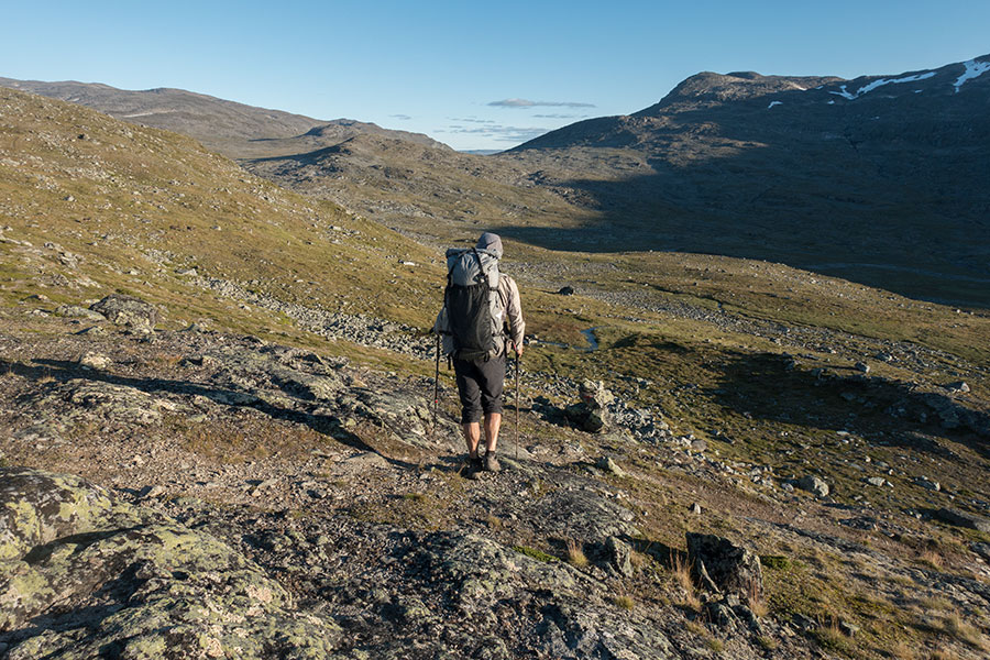
Final stretch for the day
It will be the coldest camp of the trip.
In the morning, there was frost on the tent and conclusive data on the thermometer:
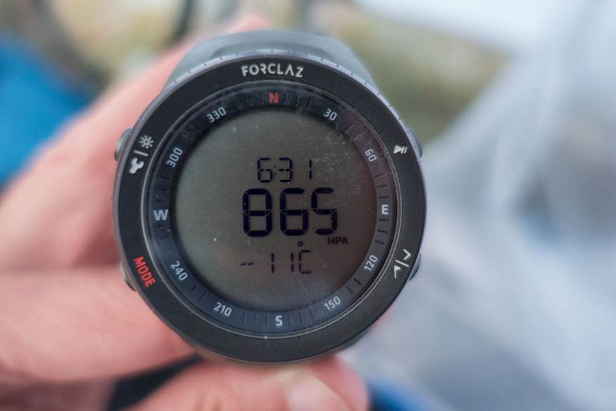
I trust the time and pressure figures, not really that temp reading
I know this thermometer tends to hallucinate when it’s below freezing. If I go from previous experience, I’d estimate -4º C, which made indeed for the coldest camp of the trip. This temp showed the limits of my sleeping system, which has got me through this and lower before but it’s probably starting to age. Never mind, I had my rest, the new morning was brilliant and I was a happy hiker.
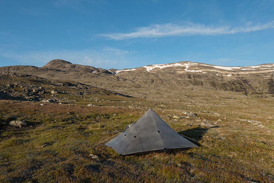
Early morning light in camp
Shortly after departing from camp and to my surprise, I spot a big truck. If it wouldn’t have been for it, I might have not noticed the wide, gravel track running roughly parallel to my trail on the other side of the drainage. As it is often the case in Norway and the map reveals, it’s related to a hydro scheme. Even though both hiking route and gravel track will come down to the same valley, they soon diverge to reach Morkedalen and Highway 52 in very separate spots. My trail goes down by the Breistolen lodge.
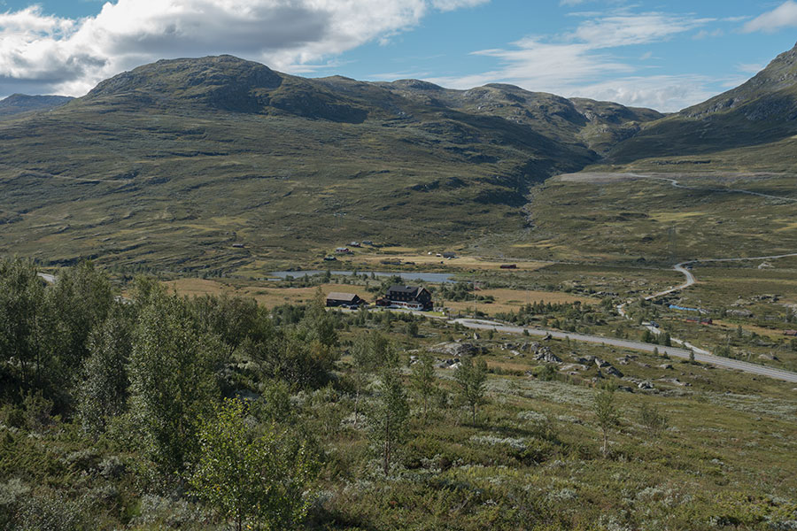
Breistolen
Just above 1000 m, there are some stunted birch on the slopes and not much traffic in the road. The lodge is a working one but apparently operating under a reservation scheme and I find it unstuffed and closed so there goes my chance of some foody treat. Never mind again.
There’s weather news, it had to happen sometime. The forecast is for wind, cold and overcast sky with some chance of precip overnight. As I climb back to the highlands, indeed clouds gather and the light goes off. I produce my gloves for the first time. They’ll become a staple.
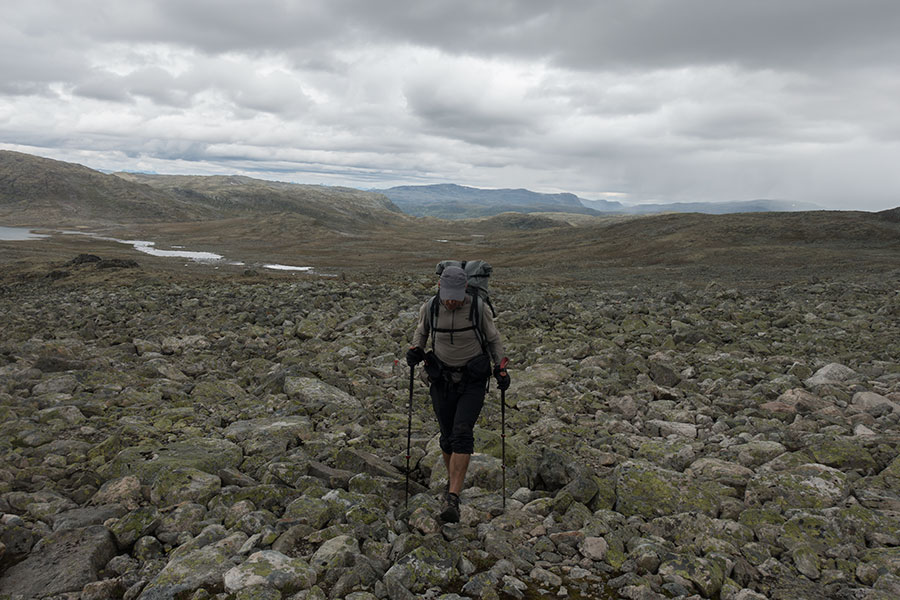
Gloves on
Past the 1500 m contour, the route goes over a seemingly endless rock field where progress slows down. By mid-afternoon, I reach Bjordalsbu.
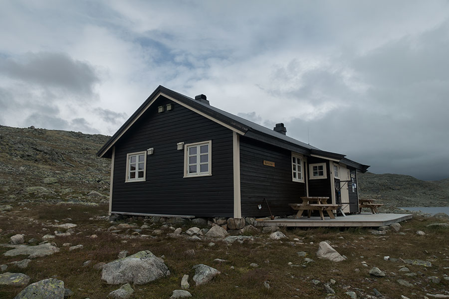
Bjordalsbu
Even though not overly bad yet, the weather conditions feel somehow intimidating for the first time in the trip. I’ve hiked only 24 km from camp, well below my intended daily average, but I’ve built some cushion in the previous days and technically I could afford stopping here and still be on track. Leaving the hut now would mean I’d need to camp for the night as the next hut would be too far away.
I make a quick assessment of how far I’d need to go to find some significantly lower, more sheltered ground, turns out roughly 12 more km. Time wise, I could make it, no huge deal, but the actual question I need to answer is how I feel about each option.
There may be some time to brave the elements later in the trip but this time it’s easy to assert myself that what I really want is to be inside and relax. I hear the voices saying I may regret this but I can answer them. Hiking performance wise, it may be too easy to want to score the third goal before the second and sometimes a little indulgence may be key to success, whatever this latter means. Hut night it is, first one on this trip.

Outside deck with a view
The hut is the usual DNT1 quality, much smaller than those I met in Jotunheimen. There already are a few hikers installed and quite some more will join later, among them a local caretaker that shared with me some interesting info about the place and the insides of the Norwegian hut system. It will be a very nice time away from the elements and among fellow hikers.
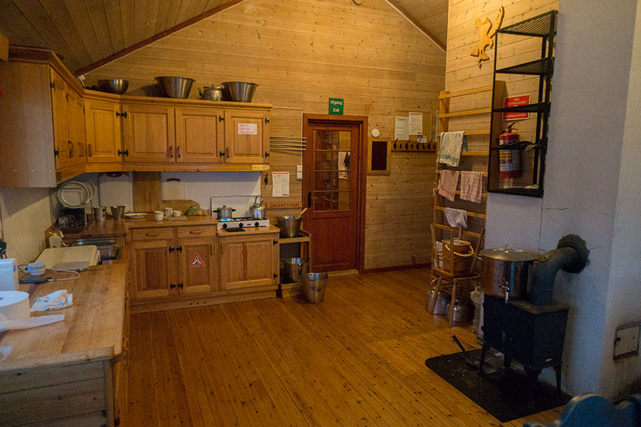
The common room in Bjordalsbu
Someone mentioned it might snow overnight. My 5.30 wake up call brought me out to a new scene:
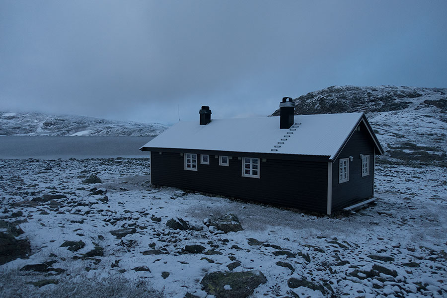
A Black & White morning
It was cold but mostly quiet and somehow more peaceful than the previous evening. When the clouds broke, it made for some of the best lights imaginable.
It’s a thin layer of snow and my only concern is that it may make the rock fields a slippery nightmare. I take my breakfast wondering where in the glory/misery dial the upcoming highland crossing will fall. With this in mind, I leave the hut behind.
It’s cold but the wind has died down. The place feels incredibly quiet and beautiful. At times, the light returns.
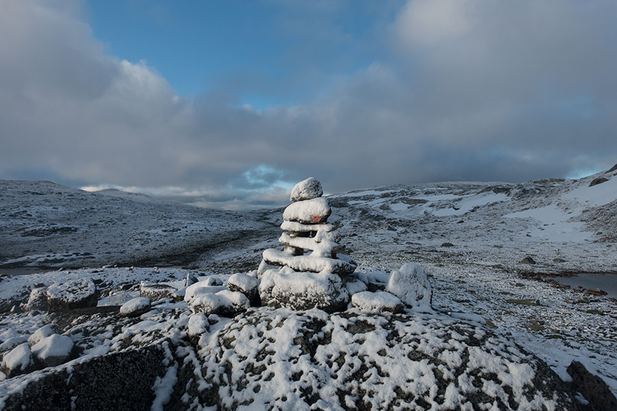
Following the route is easy
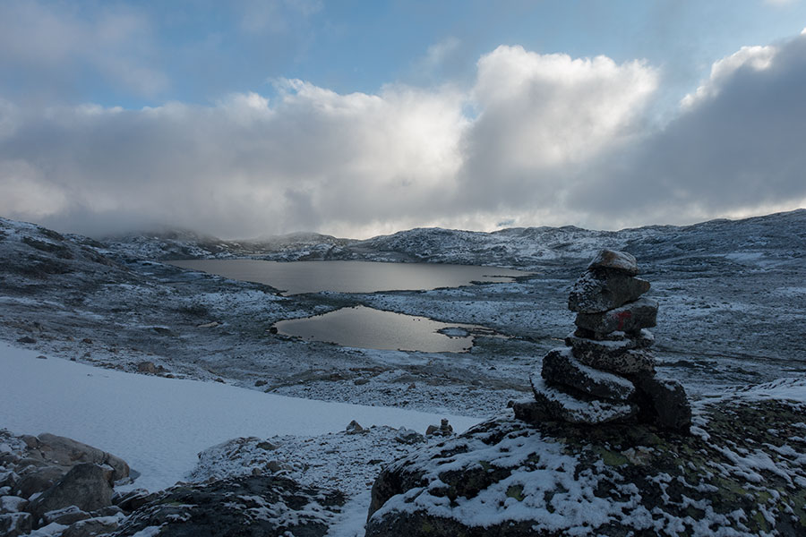
Looking back to Bjordalsvatnet
A slight rise takes the route up to 1700 m, then it starts coming down. After a couple of hours from the hut, I can see snow-free land at the far end.

Down towards the grass
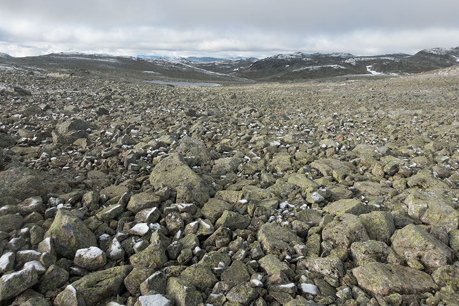
Grass not yet
Eventually, I get to business-as-usual hiking as I keep coming down towards the next milestone in Iungsdals.
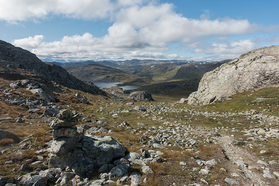
Back to business as usual
It’s back to business as usual weather wise too, with only partial cloud cover and a cool, steady breeze as I come down to the stuffed hut in Iungsdals. It’s just after noon, the time being irrelevant as far as the main business I can do in the hut, say, a double run of coffee and cake that, together with a good share of my own staples, will fuel the hiking for the second part of the day.
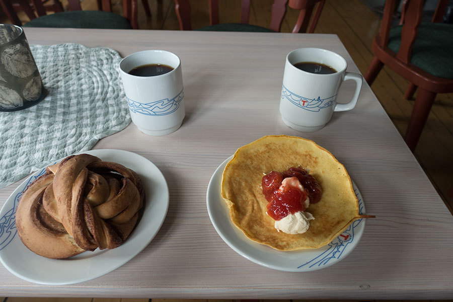
Single hiker, double rations
The climb back up to the highlands goes along a valley over grassy terrain on a good trail so I can make good progress all the way to the highland basins, where it gets rockier and slower on a westward leg that puts the sun in my face so the best lights are found while looking back.
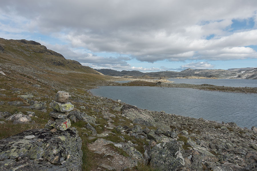
Volavatnet lake complex
It’s only mid evening and 30 km covered when I go by the Kongshelleren hut and I face a situation very similar to that of the previous day, should I keep going? I go through the same process of assessing the terrain ahead for a possible target camp in clearly deteriorating weather conditions with increasing cloud cover, cold wind and an unwelcoming feeling.
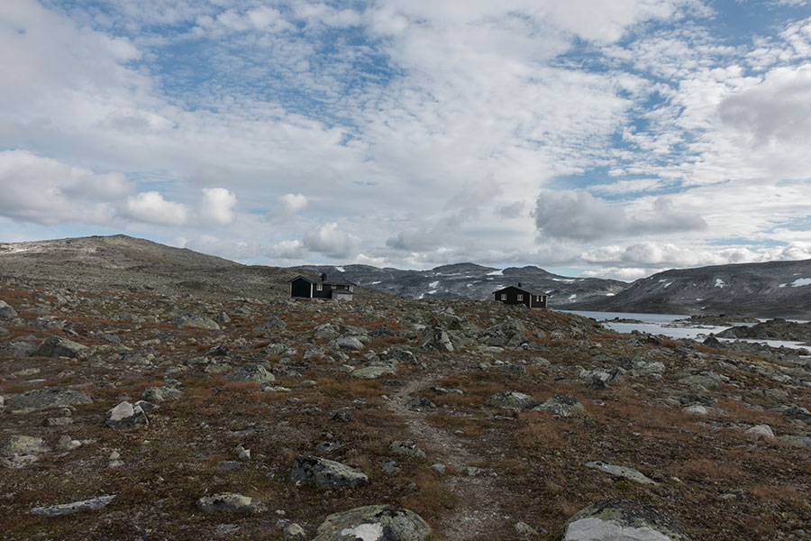
Kongshelleren hut
It’d be about a couple of additional hours to get down to more sheltered, grassy areas. Once again, I decide to lose on the mileage and save on the morale reservoir by deciding to stay in the hut for the night. It’s the end of day 6 and I’ve covered 191 km overall. By the time I go to bed, the sky is overcast and it’s then that it feels particularly good to be inside.
I do a 5 AM wake up call with the intention of compensating for the early end of the previous day. Once again, it’s snowed overnight and the main difference is that Kongshelleren is about 100 m lower than Bjordalsbu was and there’s less accumulation on the ground.
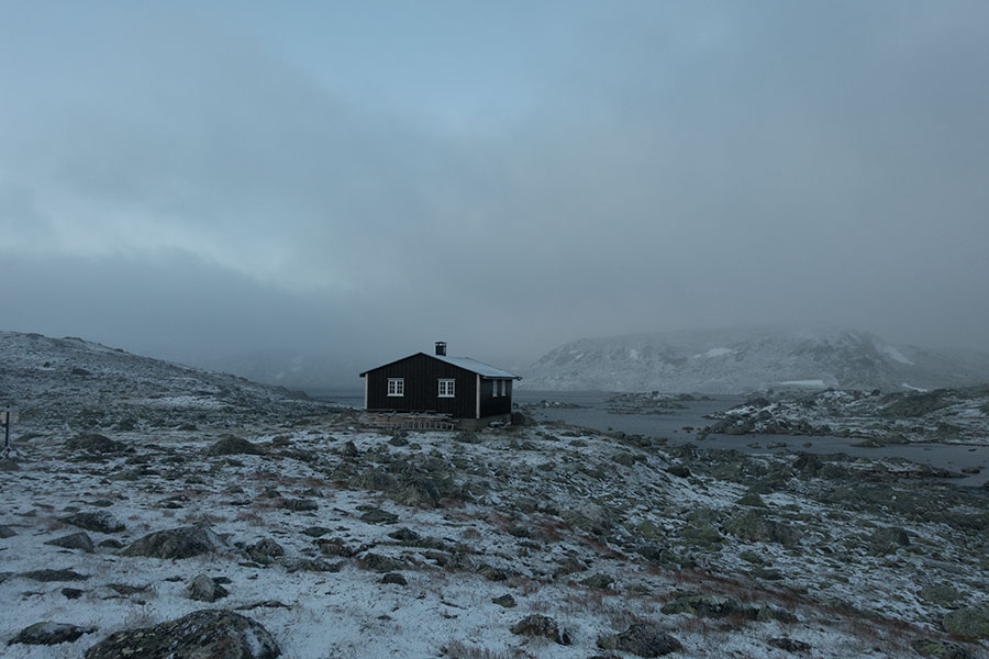
New snow again
The route out of Kongshelleren is easier than that of the previous morning, with a very slow rise to the 1500 m contour before an equally gradual climb down while the low cloud spares the ground so the visibility is good enough. I concentrate on not slipping.
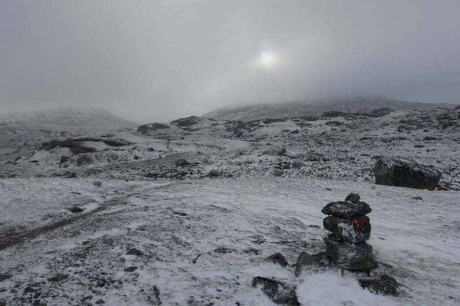
Sun briefly poking through
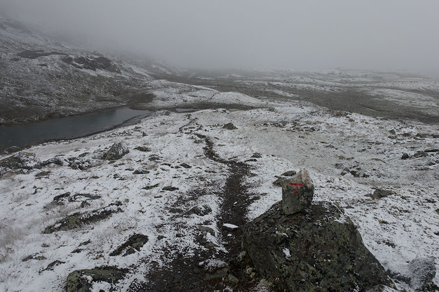
That’s the trail
The day seems to be a step-by-step reply of the previous one. By the time I get off the snow, the cloud breaks and the whole vibe becomes friendlier. I start getting hiker traffic in front, the most steady I’ve met since downtown Jotunheimen, and it’s only mid morning when I get to the stuffed hut in Geiterygg. The access road and the power lines make it all look less welcoming than average.
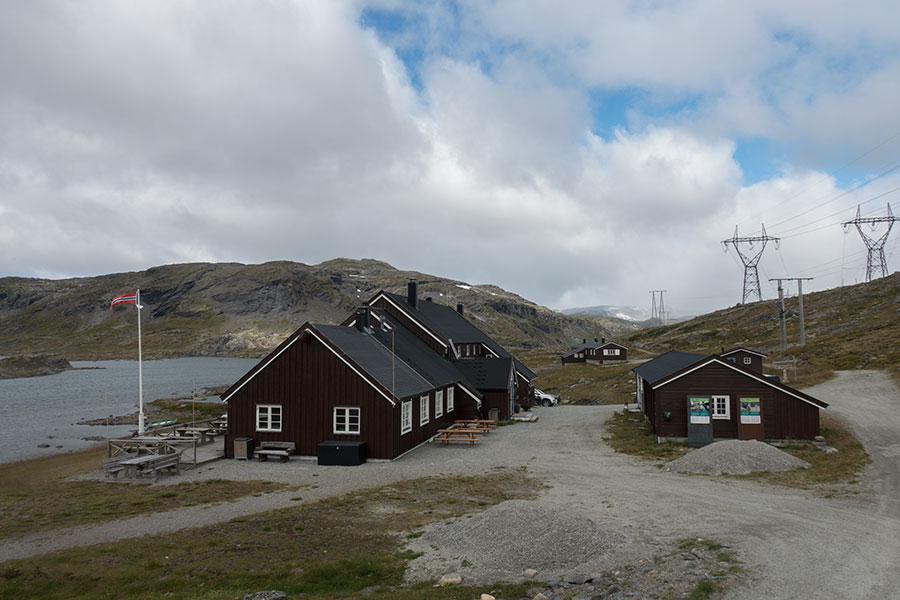
Geiterygghytta
The weather is nice again but it won’t be for long, there’s some heavy rain forecasted for the evening and this may help shape my short term plans. As I stand, it’s about 16 km south to Finse, the main milestone in my trip other than the start and end points. Finse is close to the mid point, it’s the gateway to the Hardangervidda plateau and the place where I’ve sent a resupply box, a perfect candidate for a partial day break. Stopping in Finse for day 7 would leave me just below the daily average, which is not good, but it’d be rather painful to get there after a long day to just repackage the food and leave.
That’s where the weather forecast may help. It says rain in the evening followed by several days of fair weather. With this information and the cell reception in Geiterygg, I make a phone call to make sure I’ll have a place to stay in the DNT hut 16 km ahead.
It feels good to have a plan with a comfortable end, it makes it easier to go for the next stretch in good spirits despite the oncoming greyness. You can tell the night has been cold and the day hasn’t been much warmer by the streamside icy grass.
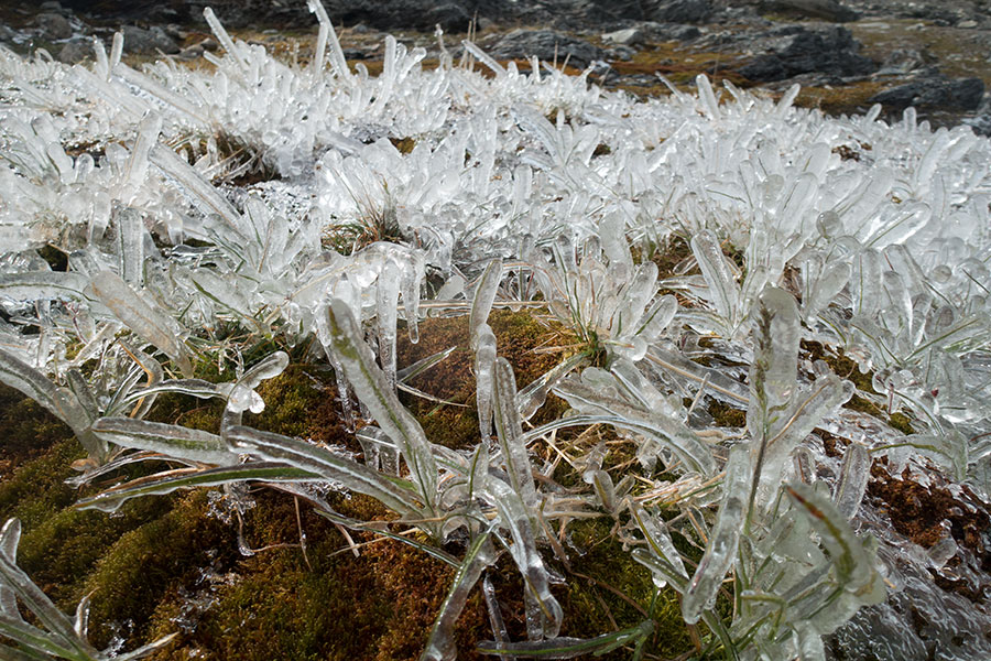
Ice on grass
It’s a main trail across a mountain group and over very exposed terrain between Geiterygg and Finse. Once up in the high ground, it’s windy and cold but it’s not raining yet. Plenty of hiker traffic coming up from my intended destination.
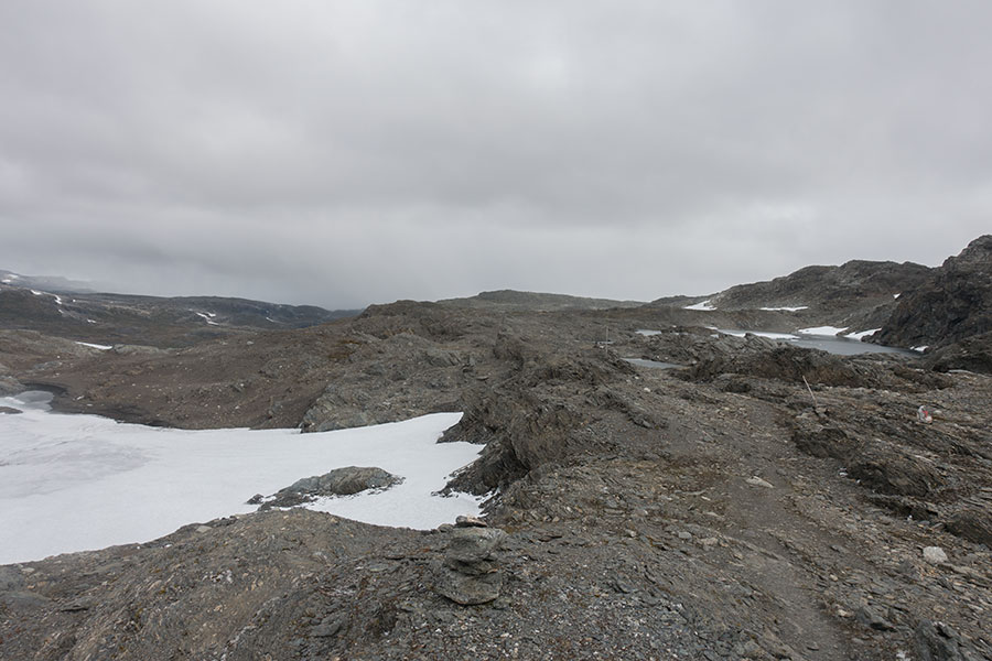
Very walkable rock world
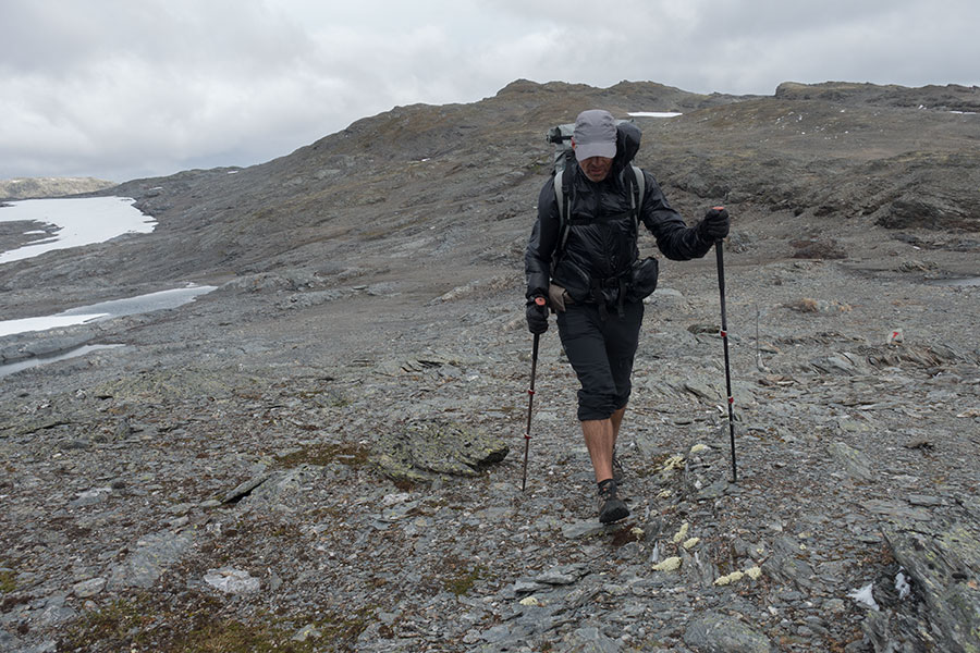
Lower leg cover is optional, gloves are not
Conditions get considerably milder once off the highest ground and it’s a comfy climb down towards Finse in constant view of the Hardanger ice field.
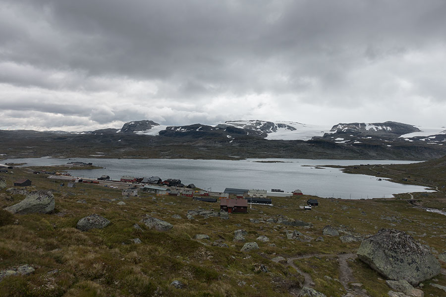
Coming down to Finse
Finse town sits at 1200 m high and it appears to have grown around the train station in the main east/west line which is here very close to go across the divide and start coming down to the fjords. There is also a gravel road that doesn’t appear to be open to the motorized public. Among the many buildings, a nice looking hotel but not my home for the night, which is 0.5 km off. It’s only 3 PM when I get to the local DNT hut.
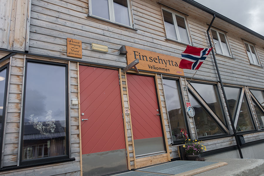
Velkommen
When I visited the Oslo post office from where I sent my resupply box before traveling to the mountains, the attendant who helped me made a charming comment about being aware of what I was doing. Finse is a popular spot for access to the wilderness with the notorious plus point of the train line. As I step inside, I head to the counter to ask for my box, which I now heavily depend on. The rest will be on me.
I had been deliberately avoiding thinking of the chance of my box not being there on time but now it was the time to find out and it was a few anxious minutes before the stuff announced it wasn’t there yet but most likely pending from being fetched from the station depot among the previous day’s arrivals. I had to wait for a longer while to declare victory so, in the meantime, I went for the next most urgent thing and ordered some food from the limited lunch menu.
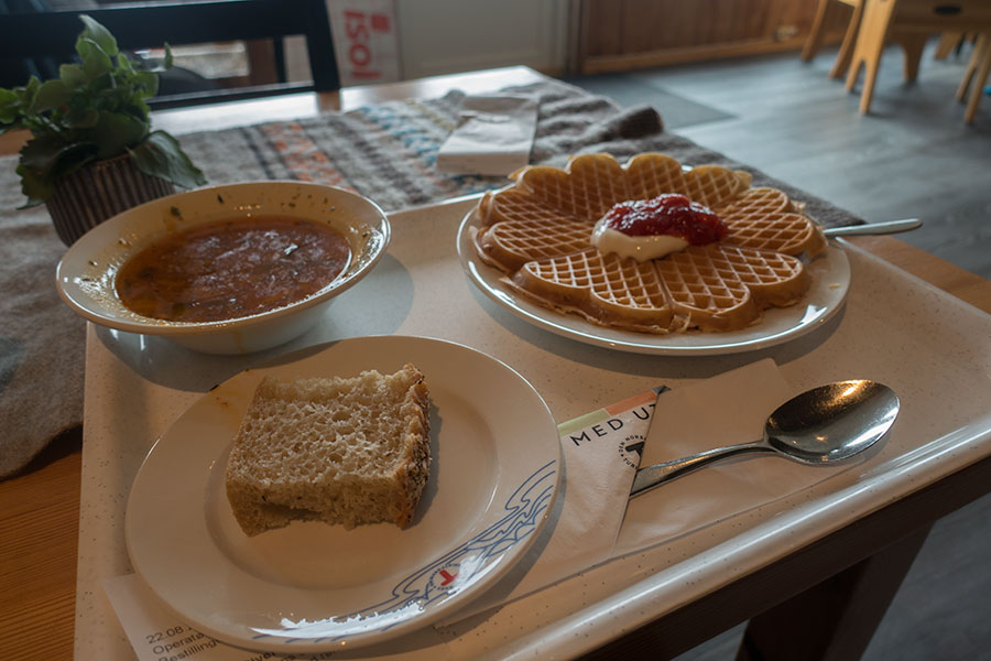
Soup and waffles
Lunch over, I got back to the counter looking for news. As the attendant came back with a box, it was easy for me to recognize my heavy tape work:
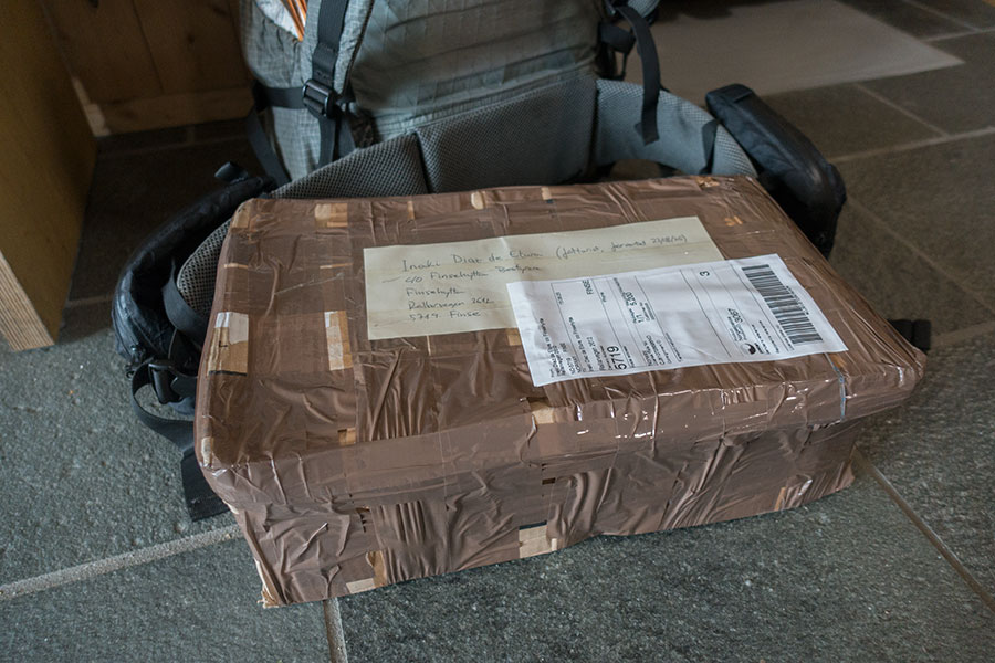
All is good now
Finse is a large hut but it was a Friday evening in the middle of the high season and it was full. It was a good move to phone, even if only a few hours in advance and I got a spot in the overflow area.
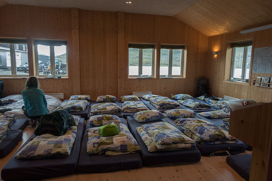
Busy hut tonight
It was also reassuring to see how the management had no intention to turn anybody down and it actually set some late comers up in the dining room floor when the overflow room itself was full.
Staying in Finse for the rest of the day was important in the grand scheme of the trip. I could take a shower, do laundry, have a good dinner/breakfast and relax. On top of that, there was some heavy rain in the evening that I could happily contemplate from under cover.
I phoned home and announced I was on track and confident.
 RSS – Posts
Say what you want