
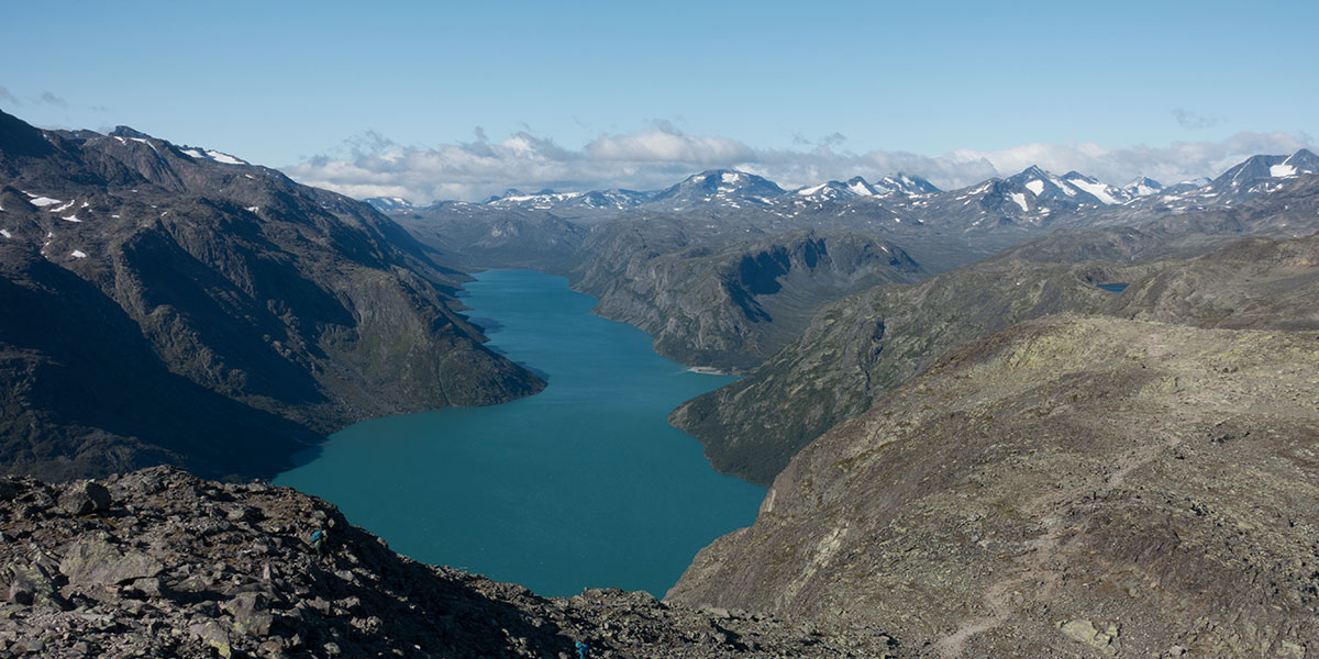
In the summer of 2025, I was back in Norway for some more quality hiking. This time, I went for its backbone, Norges Ryggrad. I started hiking in Jotunheimen, the main mountain region in the southern half of Norway, then across Skarvheimen, Hardangervidda and the Ryfylke highlands all the way down to Lysefjord, in the Stavanger area.
This is an account of days 1 to 3 when I hiked across Jotunheimen
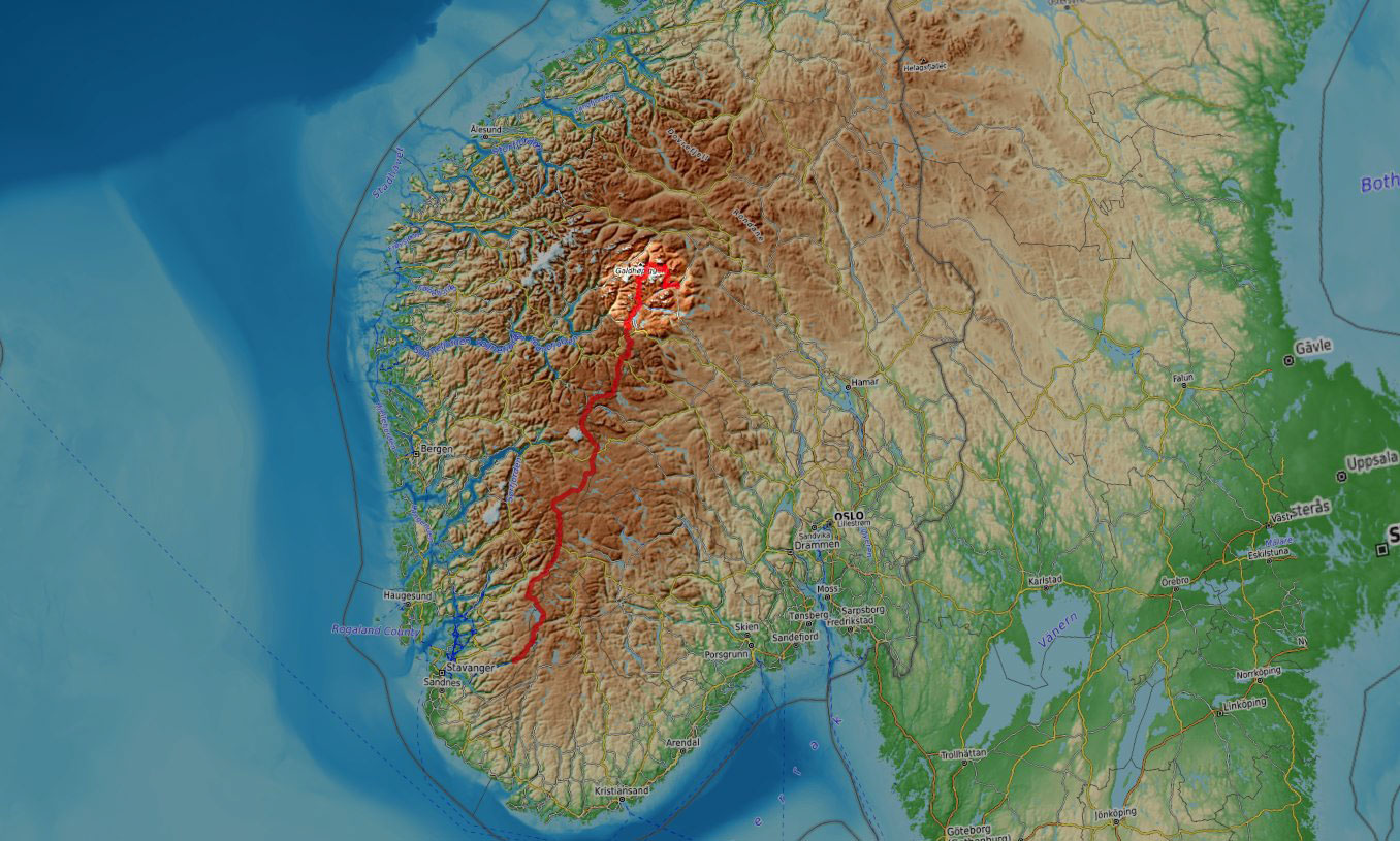
Jotunheimen
I arrived in Gjendesheim in the dark after a monster trip from the doorstep that included an early morning flight and several hours in the afternoon bus from Oslo. Day zero of the trip was meant to be a tough one but everything went satisfactorily on schedule and I could go to sleep and be ready for hiking the following morning.
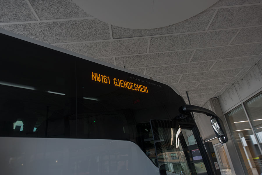
Nor-Way bus 161 at the Oslo terminal
Gjendesheim is one of the most popular entry points to Jotunheimen, it has road access, public transport and a DNT1 hut where I had booked for the night. There was a lot of hiking upcoming and it’d really help to start fresh after a good Norwegian breakfast.
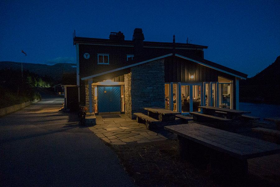
Gjendesheim hut, home for the impending night
Starting here, I’ll be taking in the weather as the main topic across the narrative because it’ll be my main factor of concern along the following two weeks. The first news are very good: clear, blue skies with a cold breeze, very favorable conditions for my first steps on the trail so it doesn’t take much courage to leave Gjendesheim behind and take on the initial climb onto the hills over lake Gjende, a big one for highland standards.
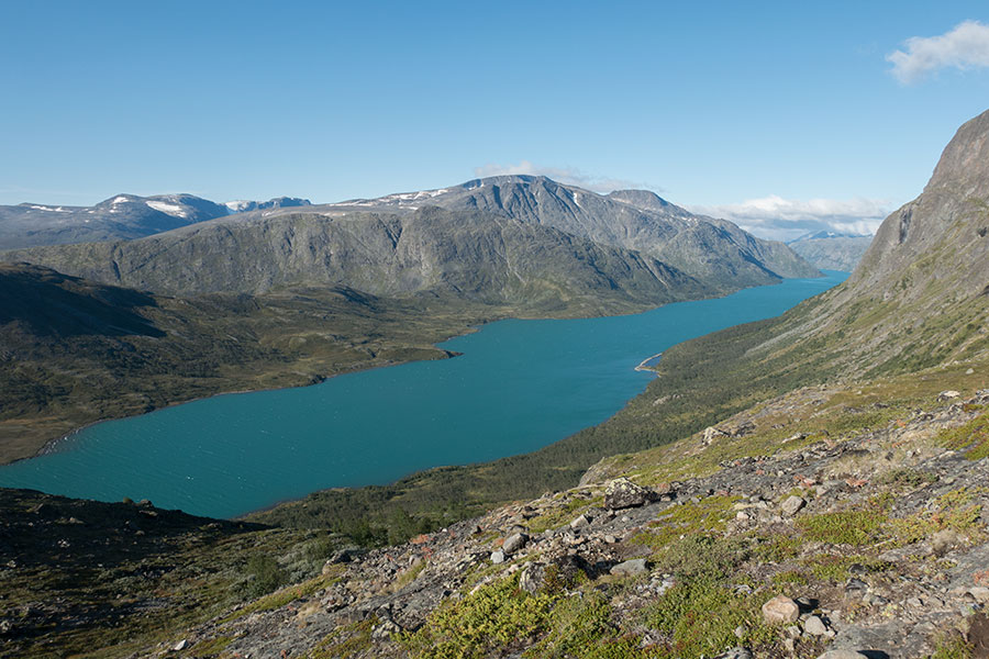
Lake Gjende
This is part of the Besseggen, a very popular route along the ridge on the north side of the lake that many people take as a one-way, day hike coming back to Gjendesheim after taking a boat in across the lake. As the morning progresses, there’ll be plenty of traffic in front of me as I’m going against the main flow. As the flat mountaintop evolves into a narrow ridge, there’s outstanding views of Gjende with the backdrop of the Jotunheimen peaks.
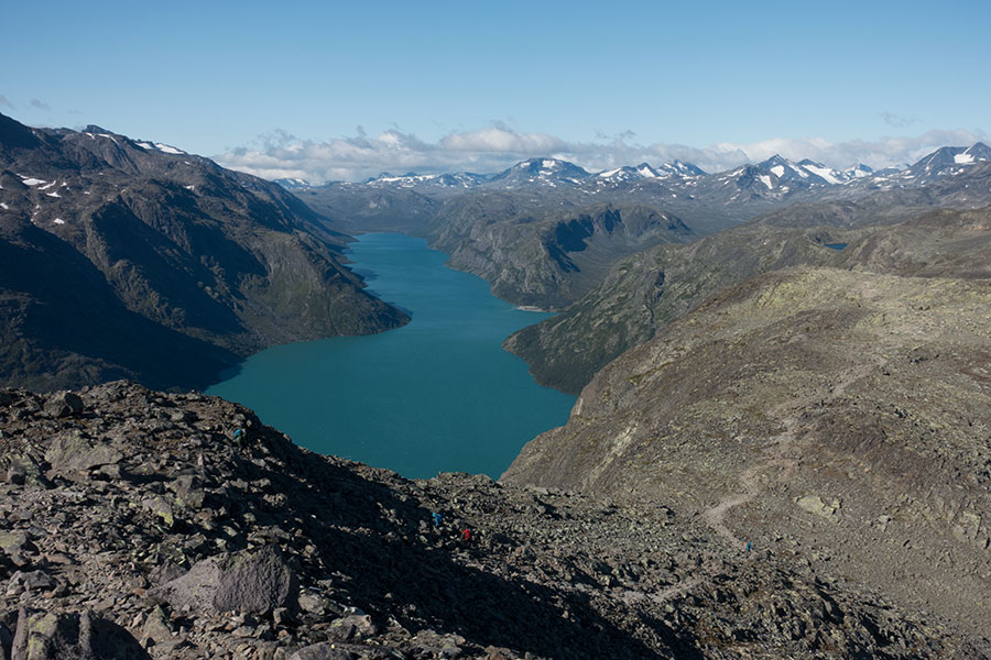
Classic Jotunheimen
Coming down the mountain on a steep ridge, Bessvatnet comes into view in a shade of blue dramatically different from that of Gjende. Only a narrow strip of ridge holds the deep blue water from draining down to the milky blue, almost 400 vertical meter below.
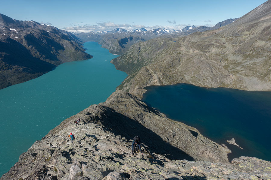
Hikers on the ridge, blue wonders everywhere
I eventually leave the main thoroughfare of the Bessegen route on a course due north, the only such leg in my trip, which is a clear southbound but being my first time in Jotunheimen I didn’t want to just cut across the most direct line through it. In a strong contrast with the first half of the day, I find myself on my own and the sky has turned to a moody overcast as the wind picks up. Some nice views of the glaciers due west as I climb away from the valley floor.
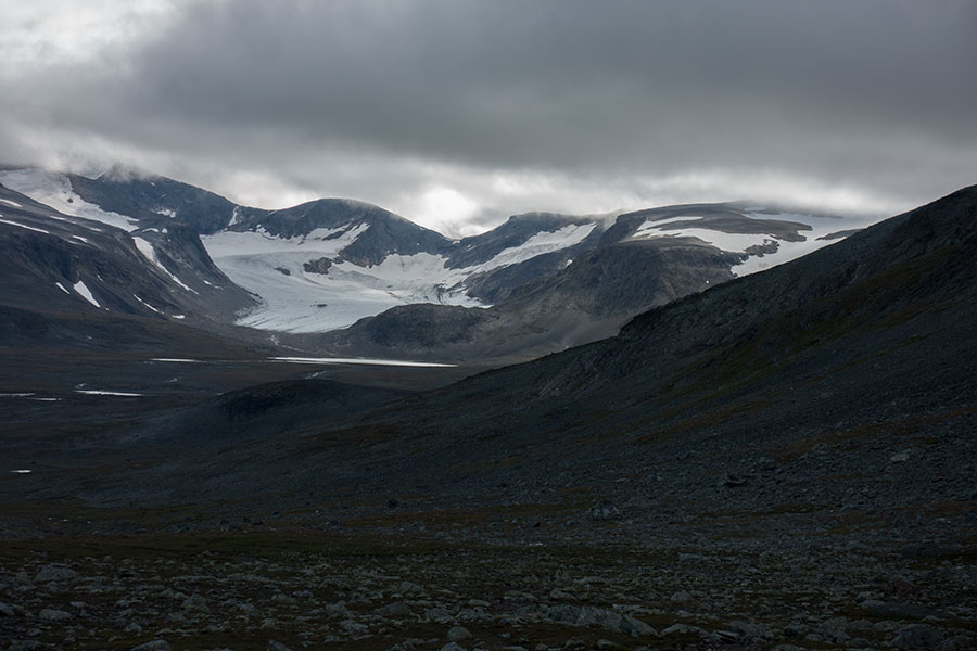
Veobrean ice
I change valleys to an intended view of Glittertinden, second highest peak in Norway but I find it hidden in thick cloud. My initial intention was to go on a high route over the summit but the timing and conditions don’t help, I’d need to make a very high camp while the wind is strong even in the valley so I decide against and take the low route around the mountain. The milky flow coming straight down from the glaciers could probably be forded easily but I follow the marked route to the swing bridge that I cross under beautiful light.
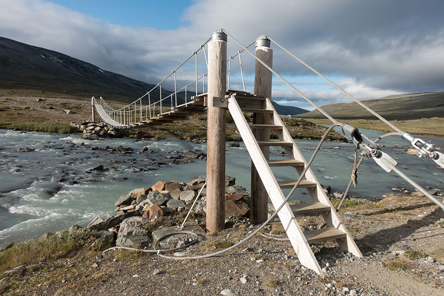
Veodalen
I go past the Glitterheim stuffed hut and make progress upstream towards the headwaters hoping to find some shelter from the strong wind under truly Scandinavian scenery.
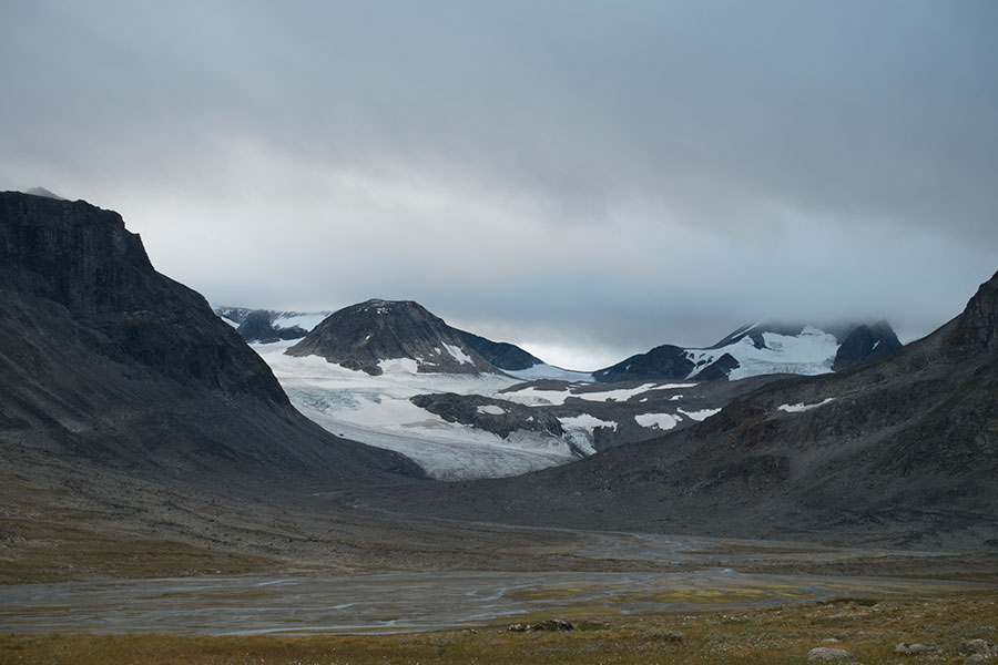
Veodalen headwaters
The topography doesn’t help with the wind as much as I’d have hoped and I need to browse around for some local shelter, a very minor depression will do. The Khufu gets a tight pitch and I feel safe and comfortable inside. The wind won’t be too violent during the night.
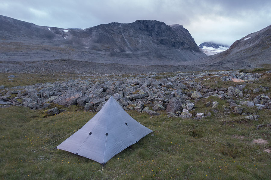
First camp
Day 2 picks up where day 1 had left, clear and cool, which really helps with the early wake-up call. I resume the hiking with a 100 m climb to a saddle where, at 1600 m high, grass is mostly gone and the route is marked over rock fields.
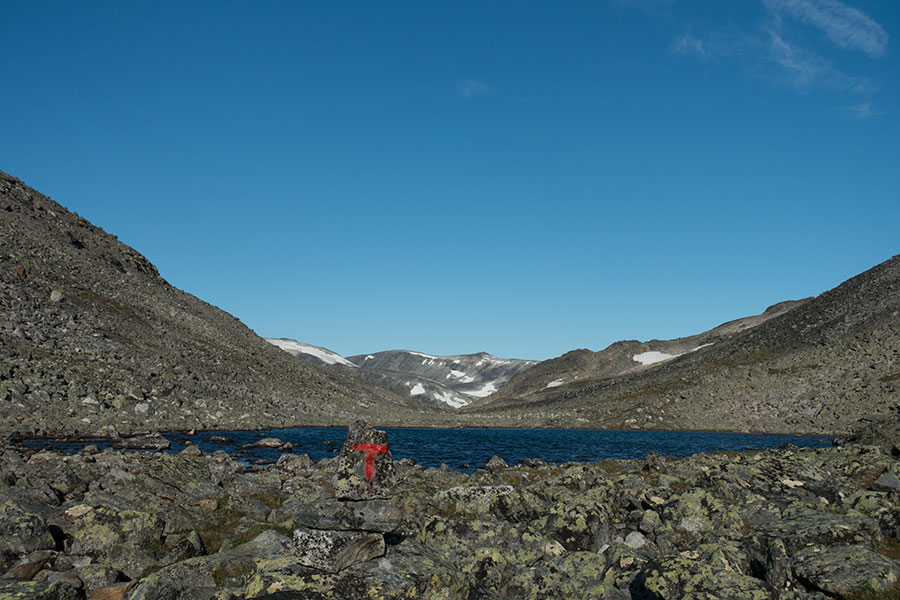
Tough hiking, scenery and weather are great
The terrain keeps high in this pass area between mountain groups Glittertinden on one side and Veotinden/Memurutinden on the other, this latter holding some nice glacial remains on the side I’m facing. Good views but you can’t enjoy them while hiking, it’s one or the other.
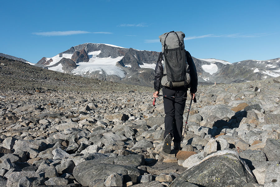
Veobrean ice, morning light version
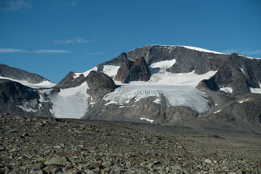
Closer up
The descent starts almost imperceptibly, in true Scandinavian fashion, even though coming down back from the 1600+ m at the pass clearly shows on the terrain as the vegetation returns and the hiking gets easier.
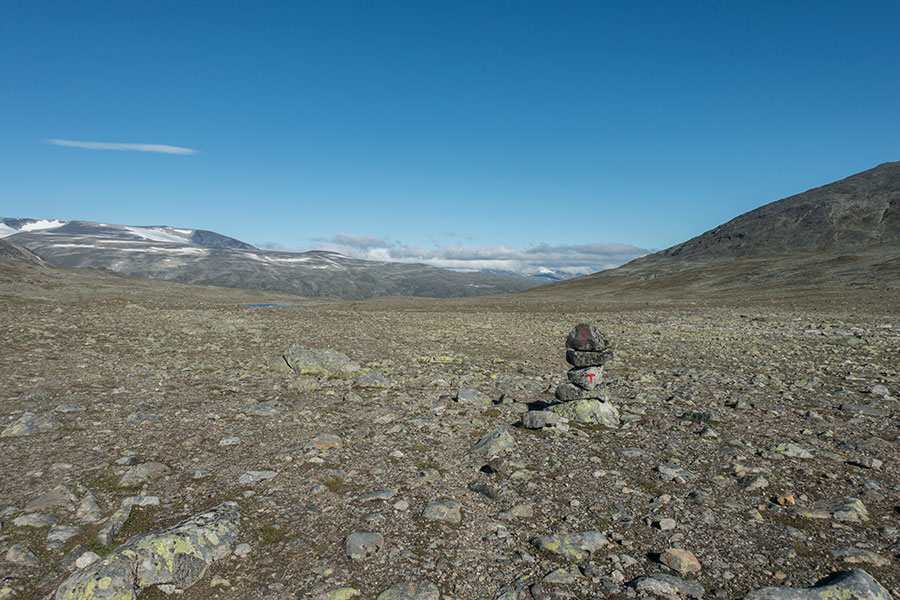
True Scandinavian fashion
At the edge of the next big drop and across the valley, there’s views of Galdhopiggen, highest peak in Norway, this time unobstructed by any clouds. You can almost feel the flowing of the ice.
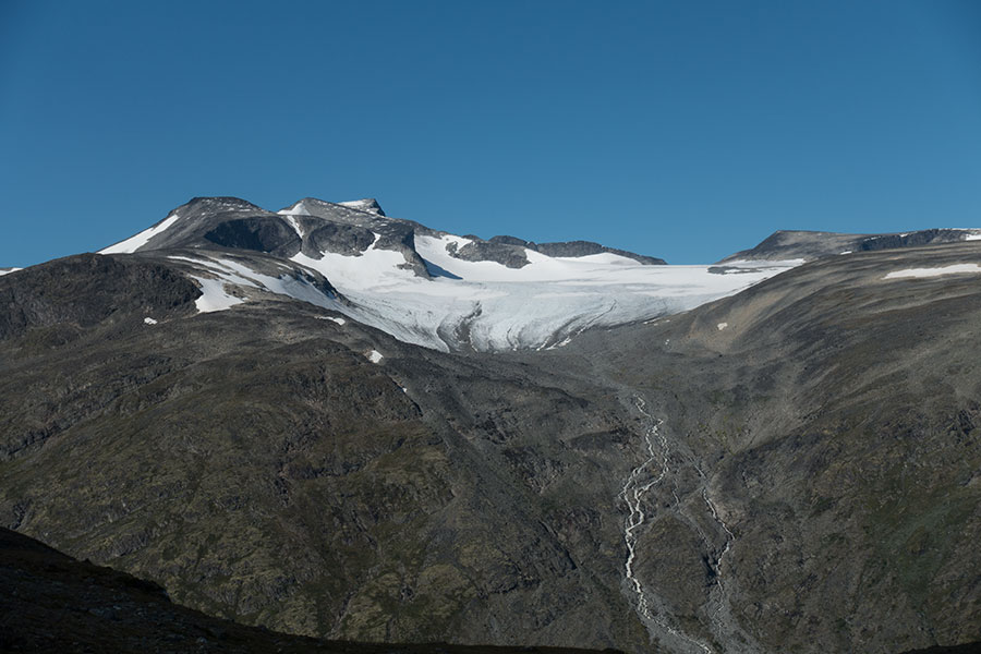
Galdhopiggen
The route goes down to Visdalen valley floor, intersecting the paved access road a short stretch before its end in Spiterstulen hut. The midday view due south gets awful light but this is the section of the valley that’s of interest to me.
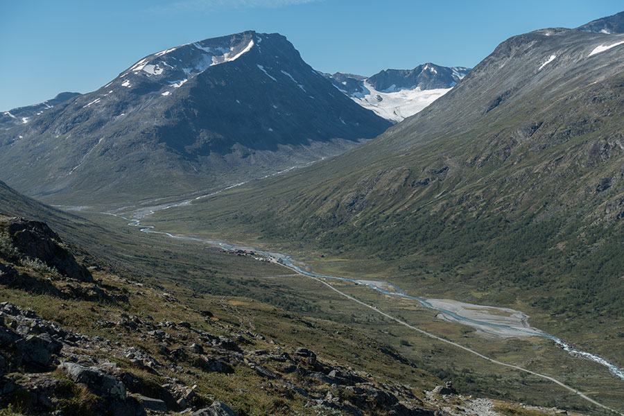
Visdalen and Spiterstulen
This will be the northernmost spot on the trip and the end of my brief jaunt around Jotunheimen as I start heading south over the seemingly most logical route that will take me to Lysefjord two weeks later. For the time being, it follows Visdalen upstream, crossing the flow near the headwaters.
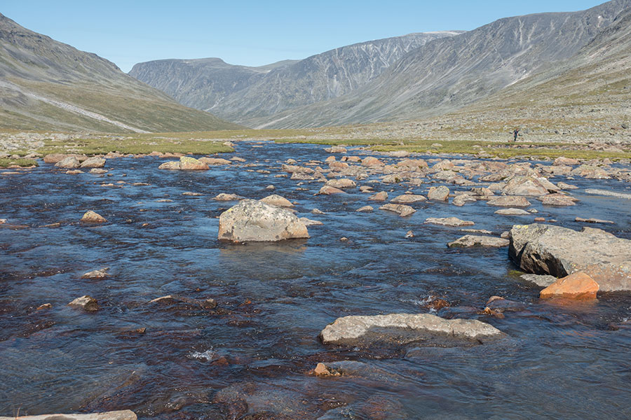
Looking downstream on the newly-born Visa
A very slight uphill leads to a watershed area and an off-trail shortcut to more distinct Hogvaglen pass, which gives access to Storodalen. If I’d follow this valley down, it’d take me to the Gjende lake end opposite to where I had started hiking the previous day but my route today will soon take me off the valley floor on a ascending course in between the two big, glaciated peaks on the right hand side.
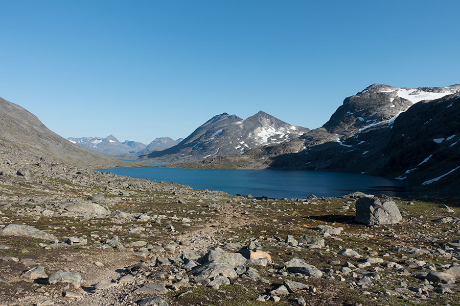
Storodalen headwaters
There’ll soon be another pass in this intricate maze but that will be for the following day. I use one of the last grassy benches in the lake basin before the pass for a scenic and comfortable camp.
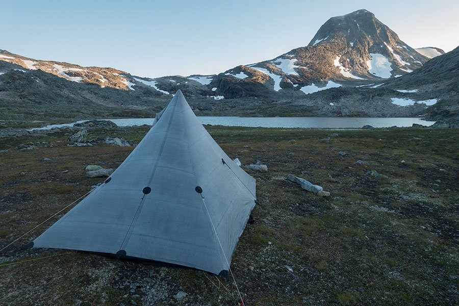
Second camp
Day 3 and I welcome the sun in yet another morning of clear, blue skies.
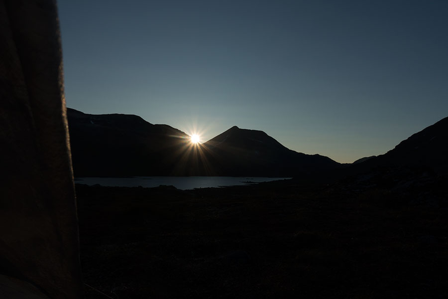
Rising sun
It takes less than an hour to exit the basin over a saddle whose south side is covered in cloud. I climb down in a sort of gleaming mist that I find mesmerizing.
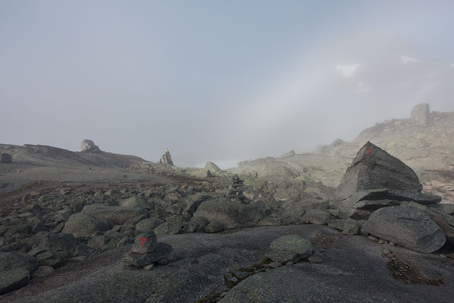
Sunlight and cloud playing the game
I exit the mist as I climb down, then go past Olavsbu, the first hut I meet in Joutunheimen that’s self service but as big as some of the stuffed ones despite the relatively remote location right on top of the east-west divide.
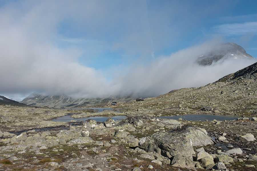
Olavsbu
Due south, my route climbs up and down several headwater lake basins while keeping between 1500 and 1600 m high, which is a guarantee of spectacular terrain and about the perfect match for the great weather conditions.
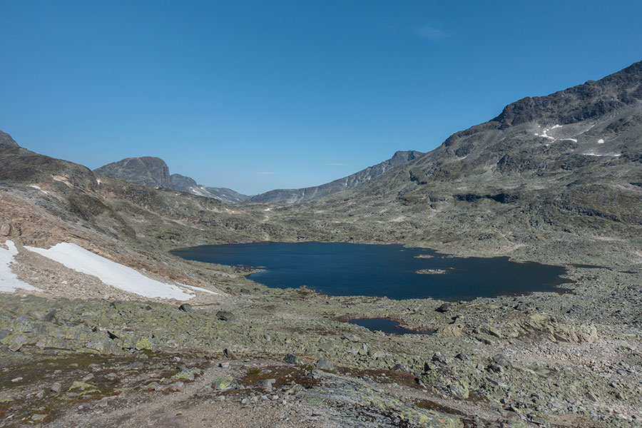
Norwegian highlands
After a bigger step downhill, the trail goes by a lake big enough to have its own name in the maps, which matches that of the glacier in its headwaters, something about milk in their names.
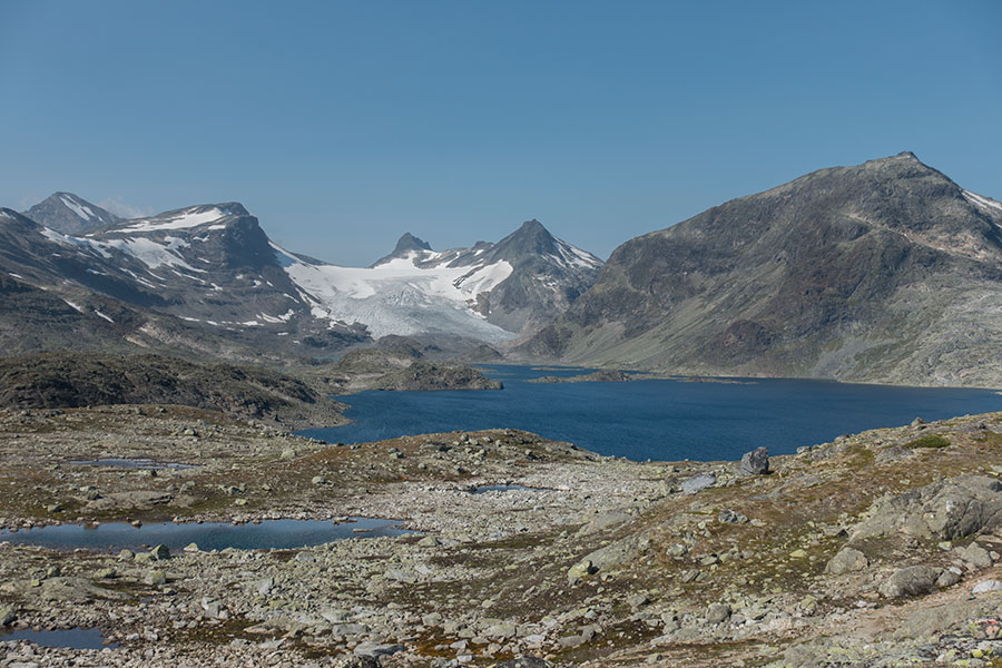
Mjolkedalsvatnet and Mjolkedalsbreen
This pic above was taken looking back from the area where I exited Jotunheimen National Park. Next it was a significant drop down to the western tip of giant lake Bygdin and a road end with a parking lot, a DNT stuffed hut, a hotel and a myriad of recreational huts. It certainly felt like the end of something.
I stopped in the Fondsbu hut for a run of coffee and cake before resuming the hike. Lo and behold, I was somewhat relieved to be inside for a while, away from the beating sun. It wasn’t too warm but I’d had enough of the light exposure.
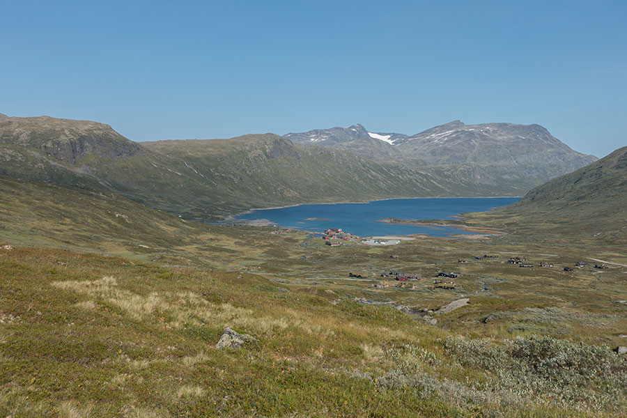
Looking back on Fondsbu and Bygdin
The final stretch for the day is across a transition area on the divide where the terrain is relatively lower, there are no big mountains around and there’s human presence with a power line along the trail and the access road occasionally visible across dammed lake Tyin. At just above 1000 m, grass dominates over rock in strong contrast to everything I had gone through so far on the trip.
This is no wilderness anymore but still pretty. I camp on header.
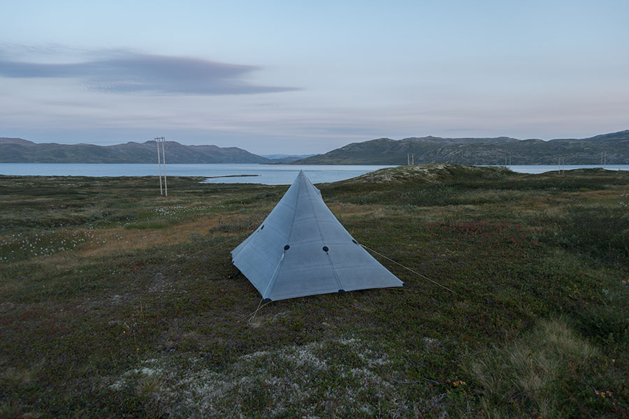
Header and power lines
 RSS – Posts
Say what you want