| Start | Sargans |
| End | Elm |
| Distance | 36 km / 22 m |
| Passes | Foopass |
Sargans and nearby Mels sit in a wide, oddly flat valley confluence flanked by high peaks. The Via Alpina 1 enters the mountains along the Weisstannental in a course due west. This valley is narrow and deep, with a public road near stream level. The trail takes a different course on the upper floor, i.e. it makes an initial climb to the south-side slopes, then traverses along, linking the small communities and farms clinging to the hillside.
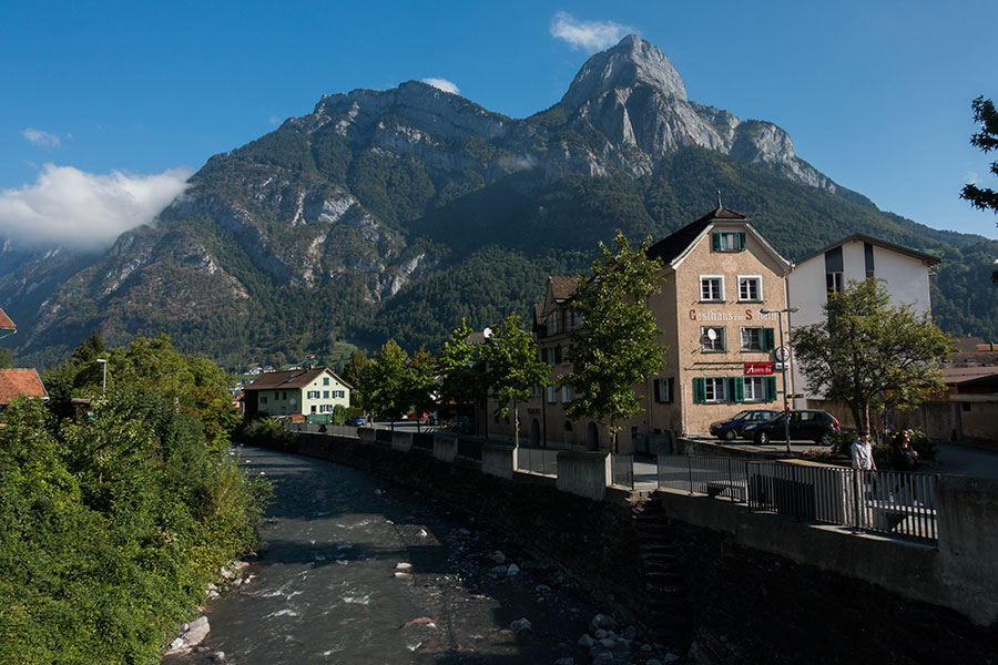
The Seez in Mels
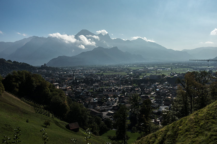
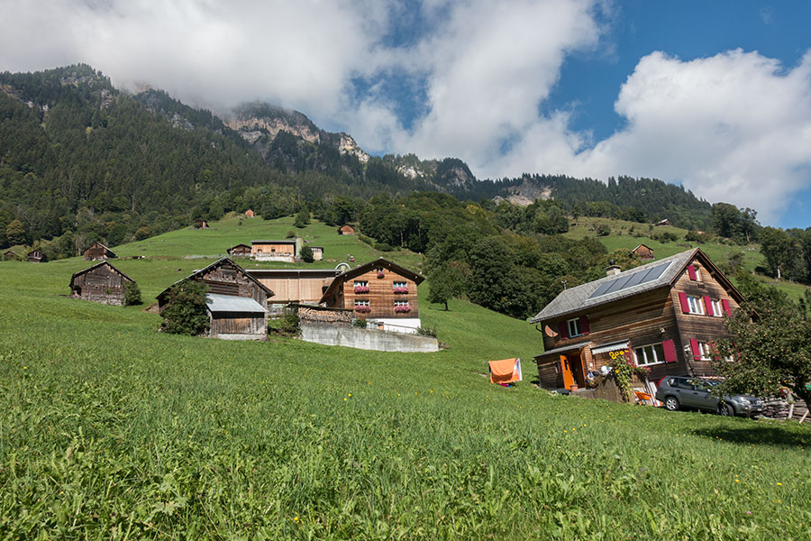
Mels and Sargans in a perfect flat
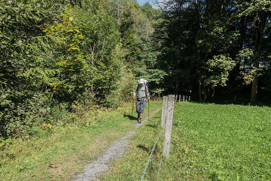
Traversing high above the Weisstannental
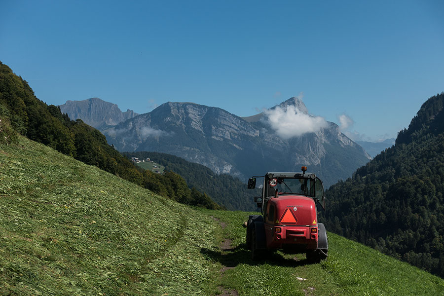
Works in the slopes
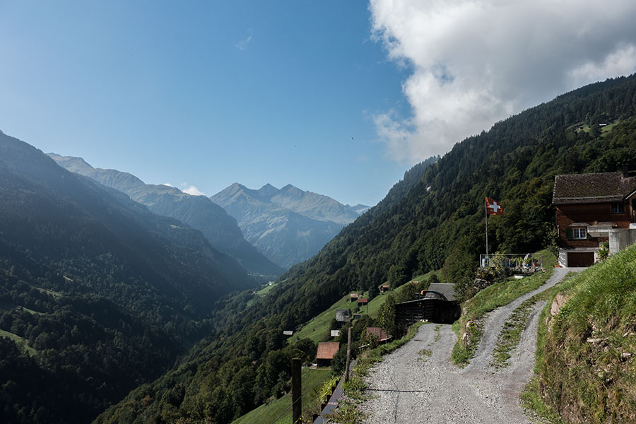
Further upstream, the route comes down to meet the valley floor and the highest villages, Schwendi and Weisstannen while progressing through the woods. The road is still there but remains mostly unnoticed. There’s yet more tarmac past Alp Vorsiez, where there’s lodging and a restaurant that I don’t visit. Here the seclusion ends as the trail emerges from the depths and the valley ups one level.
Meadows and chalets in the slopes, so very Swiss
In the depths of the Weisstannental
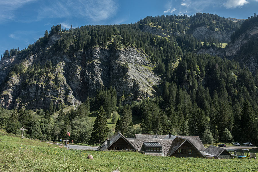
Alp Vorsiez
The road ends in Alp Untersäss. The trees continue just a little farther as the route takes a dirt road and starts climbing steeply. This is my first big sweat on this trip, there’ll be many more!
Looking down to Untersäss, end of the road
Now in a magnificent scenario of mountains all around, high on the slopes above the highest reaches of the Weisstannental, the trail turns to a path and gets to Foo Alp, on a bench above the headwaters, a mix of alp farm and recreational mountain hut -there’s both. Past Foo Alp, it’s all grassy slopes in search of the first pass on the trip.
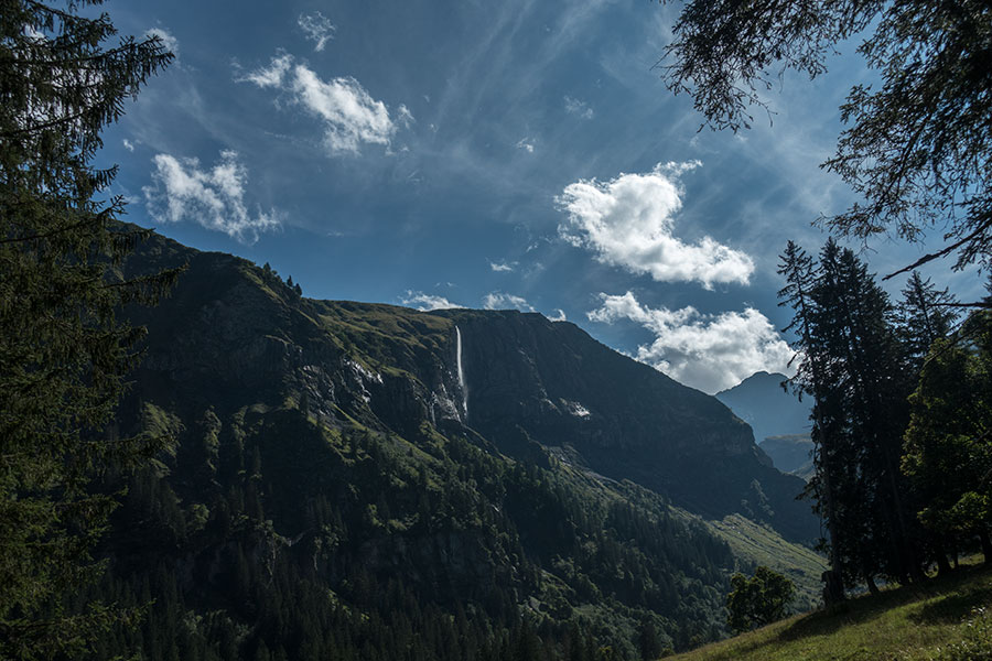
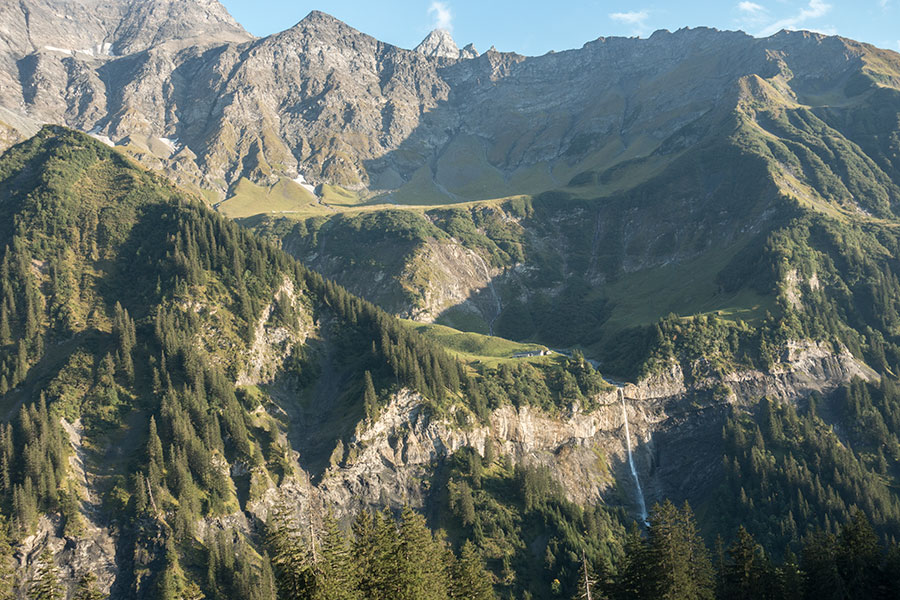
Waterfall
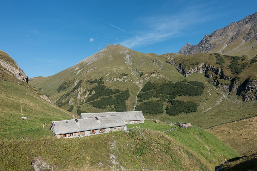
Foo Alp
My first Swiss alpine pass! The appeal enhanced by the evening timing which means there’s nobody on the trails despite being a Saturday. It also means I must be quick down the mountain if I mean to meet my demanding daily average.
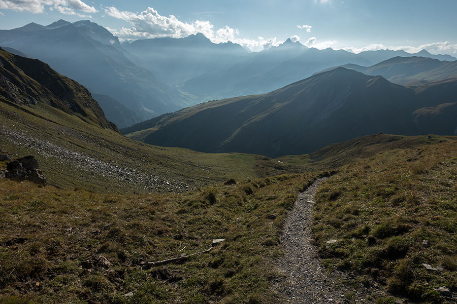
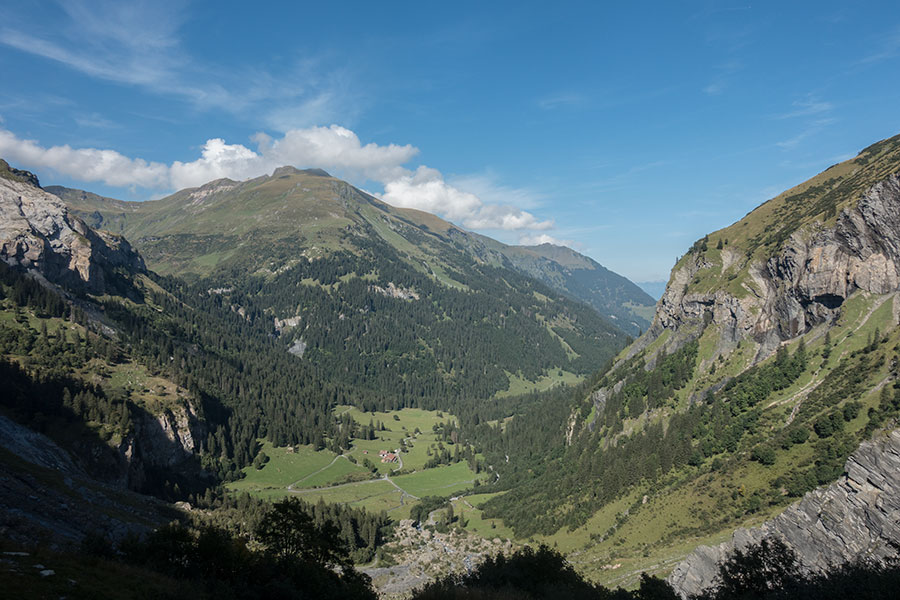
This is what you see from the top of Foopass if you look west in the setting sun. The Sernftal is the main valley. Richetlipass is the low point in center pic at the far end
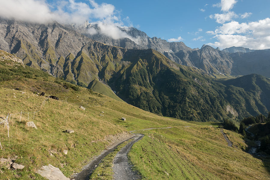
Down in the first basin after the pass there’s another alp location and the trail turns into a dirt road. I have mixed feelings about such an early end to the wilderness. It certainly makes for quick progress down.
From Foopass to the Sernftal
There was a beautiful waterfall on the climb up, there’s a similar one on the climb down. Many pics were taken, most were crap without a gradient filter.
Glacial basins, vertical walls & waterfalls
I arrived in Elm in twilight, quickly turned to darkness as the basic public campsite was inside a dense conifer wood. Late arrivals were to become my trip’s normal.
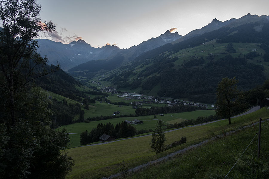
Elm
 RSS – Posts
Say what you want